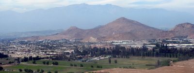
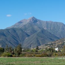
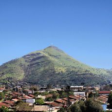
Quilicura, Commune in Santiago province, Chile.
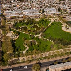
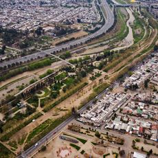
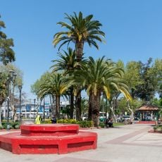
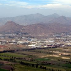
Quilicura is a commune in the Santiago Metropolitan Region situated in the northwestern section of the city. The area combines residential neighborhoods with industrial zones and serves as home to a growing population.
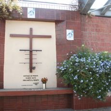
The commune was established in 1902 and takes its name from Mapudungun words referring to stone formations that once marked boundaries. Early development was rooted in agriculture before the area underwent rapid growth in recent decades.
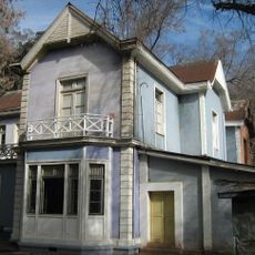
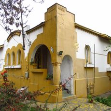
The area transformed from agricultural land into a mixed residential and industrial district over recent decades. Today, residential developments and commercial spaces shape how people live and work here.
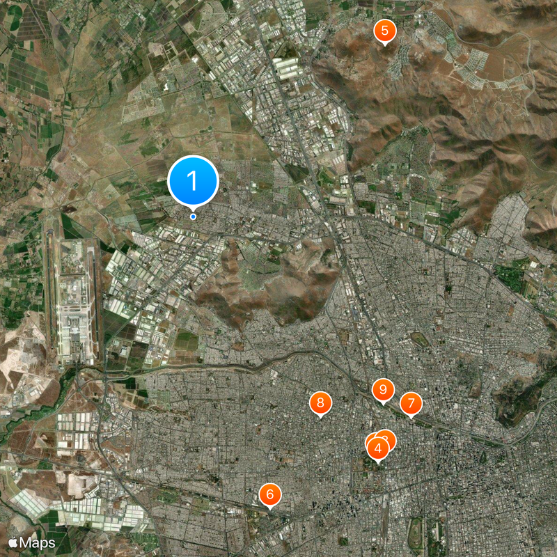
The Santiago Metro Line 3 provides direct connections to central parts of the city, making the area easily accessible by public transport. Major highways pass through the region and link it to other neighborhoods and key facilities.
The name comes from the Mapuche language and references three distinctive stone formations that once served as boundary markers with a neighboring area. These rocks remain visible reminders of the region's indigenous heritage and historical geography.
Location: Santiago province
Inception: August 10, 1901
Elevation above the sea: 485 m
Website: http://quilicura.cl
GPS coordinates: -33.36667,-70.75000
Latest update: December 20, 2025 02:23
Quinta Normal Park
10.4 km
Museum of Memory and Human Rights
10.5 km
Chilean National Museum of Natural History
10.5 km
Cerro La Campana
8.9 km
Mundomágico
10.3 km
Parque de los Reyes
10.1 km
Centro Cultural Casona Dubois
8.1 km
Parque de la Familia
9.1 km
Memorial Tres Sillas
5.1 km
Cerro Renca
4.5 km
Gruta de Nuestra Señora de Lourdes
9.9 km
Railway Museum
10.4 km
Museo de Ciencia y Tecnología
10.2 km
Memorial Puente Bulnes, Muro de la Memoria y Plaza Joan Alsina
9.9 km
Estadio de Carabineros
10.2 km
Museo Infantil
10.2 km
Población Los Castaños
9.5 km
Parque Santa Mónica
9.1 km
Parroquia Nuestra Señora de Andacollo
10.4 km
Estadio Municipal de Quilicura
105 m
Parque Mapocho Poniente
5.5 km
Plaza de Armas de Quilicura
1.7 km
Cité Las Palmas
10.4 km
Casa de Av. Francia Nº 1442
9.8 km
Casa Consistorial de Conchalí
8 km
Cerro Pan de Azúcar (Chile, Colina)
7.9 km
Monolito Recordatorio en frontis de la Municipalidad de Pudahuel
8.8 km
Casa patronal de la Chacra Lo Negrete
8.1 kmVisited this place? Tap the stars to rate it and share your experience / photos with the community! Try now! You can cancel it anytime.
Discover hidden gems everywhere you go!
From secret cafés to breathtaking viewpoints, skip the crowded tourist spots and find places that match your style. Our app makes it easy with voice search, smart filtering, route optimization, and insider tips from travelers worldwide. Download now for the complete mobile experience.
A unique approach to discovering new places❞
— Le Figaro
All the places worth exploring❞
— France Info
A tailor-made excursion in just a few clicks❞
— 20 Minutes