
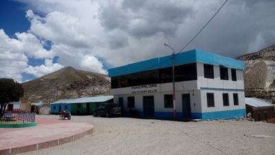
Santa Rosa District, district in El Collao, Puno, Peru
Location: El Collao Province
Capital city: Mazocruz
Elevation above the sea: 3,960 m
Shares border with: Acora District, Conduriri District, Huacullani District, Pisacoma District, Capaso District, Susapaya, Candarave District, Carumas District
GPS coordinates: -16.74212,-69.72331
Latest update: March 3, 2025 23:42
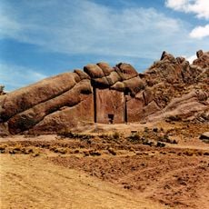
Aramu Muru
66.5 km
Tutupaca
75.9 km
Vilacota Maure Regional Conservation Area
68.3 km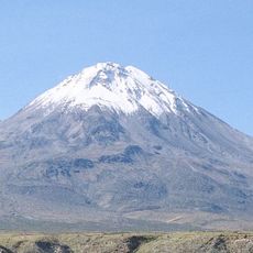
Yucamane
70.6 km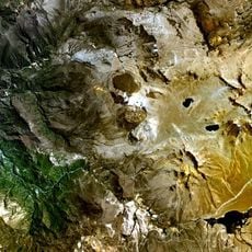
Ticsani
93.5 km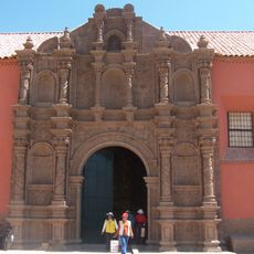
San Juan de Letran, Juli
65.6 km
Casiri
81.7 km
Santa Cruz de Jerusalen, Juli
65.5 km
Suri
46.3 km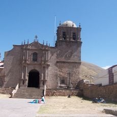
Cathedral of Juli
65.3 km
Nuestra Señora de la Asunción, Juli
65.2 km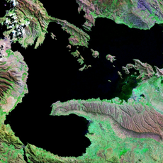
Cerro Khapia Reserved Zone Landscape Reserve
75.9 km
Wariri
58.5 km
Iñuma
80.7 km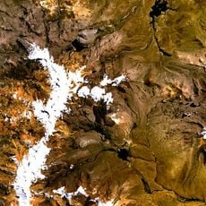
Achacollo
92 km
Wiqu
77.4 km
Ancochaullane
93.9 km
Coruña
84.2 km
Churi Qullu
58.9 km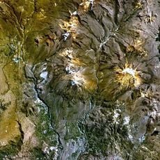
Chillihua
65.7 km
Ch'iyar Jaqhi (Tacna)
66.2 km
Pacollo
75.7 km
Auquitaipe
83.4 km
Nasa Parqu
70.9 km
Choreveco
58.4 km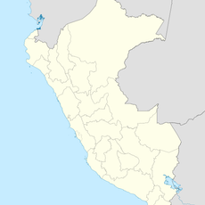
Apacheta Limani
84.2 km
Chontacollo
78.5 km
Chucñuma
73.4 kmReviews
Visited this place? Tap the stars to rate it and share your experience / photos with the community! Try now! You can cancel it anytime.
Discover hidden gems everywhere you go!
From secret cafés to breathtaking viewpoints, skip the crowded tourist spots and find places that match your style. Our app makes it easy with voice search, smart filtering, route optimization, and insider tips from travelers worldwide. Download now for the complete mobile experience.

A unique approach to discovering new places❞
— Le Figaro
All the places worth exploring❞
— France Info
A tailor-made excursion in just a few clicks❞
— 20 Minutes