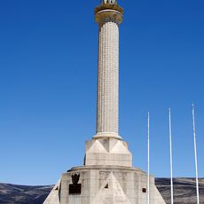
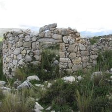
San Ramón District, Administrative district in Chanchamayo Province, Peru
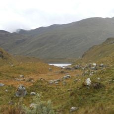
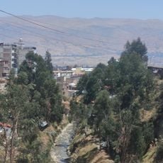
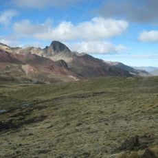
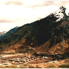
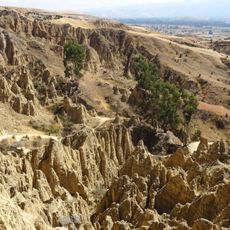
San Ramón District is an administrative area in Chanchamayo Province located in the eastern Andes of Peru at around 820 meters in elevation. The territory combines settled zones with agricultural lands, cut through by several river systems that shape the landscape.
The district was officially founded on November 14, 1908, establishing organized administration in this part of Chanchamayo Province. This formation occurred during a period of regional development as eastern mountain regions of Peru were increasingly opened for settlement.
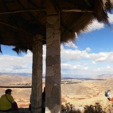
Coffee growing shapes daily life and the landscape throughout the area, with plantations covering the mountain slopes. The farming traditions are deeply rooted in how people work the land and organize their communities.
The district center is accessible by a small airport or through the central highway connecting the region. Accommodations are distributed throughout the main urban area and serve as useful reference points for visitors getting around.
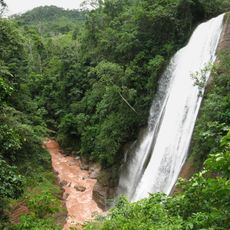
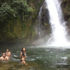
The Tarma and Tulumayu rivers meet beneath Toro Huajrashga Mountain to form the Chanchamayo River in this location. This convergence creates a notable geographic feature that shapes how water flows through the district.
The community of curious travelers
AroundUs brings together thousands of curated places, local tips, and hidden gems, enriched daily by 60,000 contributors worldwide.