Raura mountain range, Mountain range in Lima Department, Peru
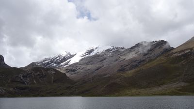
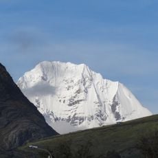
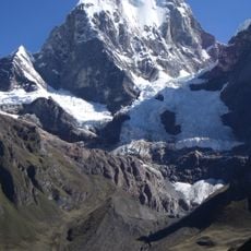
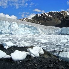
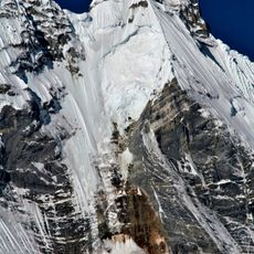
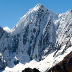
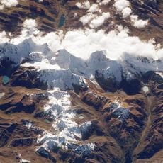
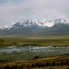
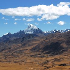
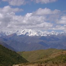
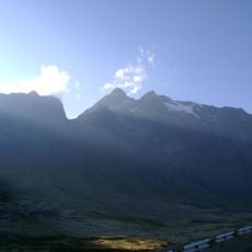
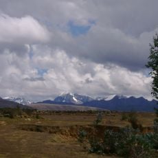
The Raura mountain range extends across roughly 25 kilometers through the regions of Lima, Huanuco, and Pasco, with numerous peaks rising above 5,000 meters. The range holds 18 glaciers and around 245 lakes, with water draining into different river systems.
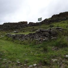
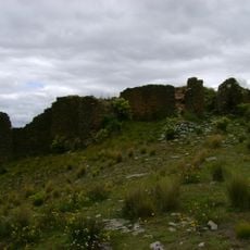
Mining operations on the eastern slopes began in 1890, focused on extracting copper, lead, zinc, and silver. This development transformed how the region's resources were used and shaped its economy for generations.
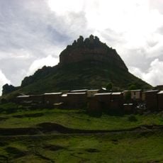
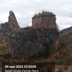
The name Raura comes from the Quechua word 'rawra', meaning gravel, which shows the indigenous linguistic heritage of Andean communities. This naming reflects how local peoples understood and described the mountain landscape.
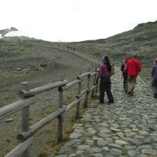
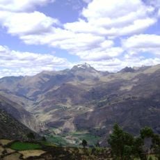
Peruvian Highway 110 provides access to the range, with elevations reaching about 4,760 meters near mining areas. Visiting requires preparation for high altitude and challenging terrain.
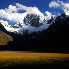
Water from the glaciers and lakes flows in two completely different directions, with some sources feeding the Pacific Ocean while others contribute to the Amazon basin. This geographical feature makes the range an interesting place to see how continental divides work.
The community of curious travelers
AroundUs brings together thousands of curated places, local tips, and hidden gems, enriched daily by 60,000 contributors worldwide.