Pasco Department, Administrative region in central Peru
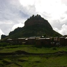
The Pasco Department is an administrative region in central Peru that stretches from the high Andes to tropical valleys. Its three provinces cover twenty-two districts spread between mountain plateaus, river gorges, and cloud forest.
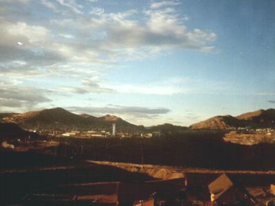
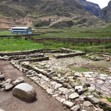
Spanish colonists arrived in the region during the 16th century and began mining operations in Cerro de Pasco, which grew into a major silver extraction site. The Republic of Peru created the department in 1944 after it was previously part of Junín.
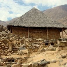
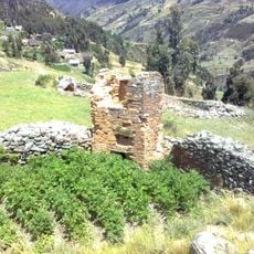
Markets throughout the department sell potato varieties and grains grown on terraced fields that have been cultivated here for centuries. Quechua remains spoken in many villages, where traditional weaving methods and textile patterns continue through family lines.
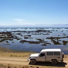
The main highway from Lima runs through the department and connects major towns, with buses operating daily from the coast. Altitudes above 4000 meters (13000 feet) are common, so travelers should allow time for acclimatization.
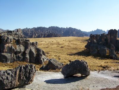
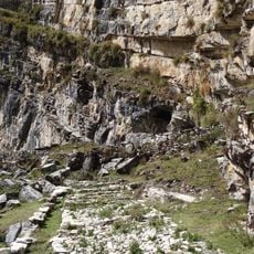
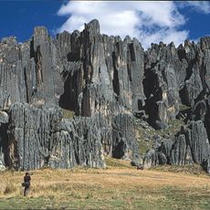
The Huayllay Stone Forest sits above 4000 meters (13000 feet) and displays thousands of rock formations shaped by wind and rain over millions of years. Trails wind between these rocks, many of which carry names because they resemble animals, faces, or buildings.
Location: Peru
Capital city: Cerro de Pasco
Shares border with: Huanuco Department, Ucayali Department, Junin Department, Lima Department
GPS coordinates: -10.50000,-75.30000
Latest update: December 4, 2025 23:05
Kotosh
124.5 km
Junin National Reservation
103.2 km
Huagapo
100.7 km
Chacamarca Historical Sanctuary
108.3 km
Velo de la Novia, Perené
44.4 km
Pampa Hermosa National Sanctuary
62.9 km
Tunanmarka
139.7 km
Cave of Lauricocha
148.7 km
Pui Pui Protection Forest
89 km
Catarata Bayoz
44.6 km
Puente Calicanto
120.7 km
Estadio Heraclio Tapia
121.5 km
Warawtampu
135.4 km
Yanesha Communal Reserve
25.4 km
San Matías–San Carlos Protection Forest
34.2 km
Huayllay National Sanctuary
124.5 km
Catarata El Tirol
71 km
Tarmatambo
116.6 km
Saint Anne Church (Tarma)
110.9 km
Pumpu
117.1 km
Oxapampa-Ashaninka-Yanesha
17.3 km
Capilla Cristo Pobre
143.7 km
Iglesia de San Cristóbal, Huánuco
120.6 km
Waqurunchu
69.3 km
Iglesia San Pedro de Ninacaca
97.3 km
Iglesia Matriz Santa Rosa de Oxapampa
14.1 km
Shillacoto
121.4 km
Archaeological Center of Ichu Yanuna
99.7 kmVisited this place? Tap the stars to rate it and share your experience / photos with the community! Try now! You can cancel it anytime.
Discover hidden gems everywhere you go!
From secret cafés to breathtaking viewpoints, skip the crowded tourist spots and find places that match your style. Our app makes it easy with voice search, smart filtering, route optimization, and insider tips from travelers worldwide. Download now for the complete mobile experience.
A unique approach to discovering new places❞
— Le Figaro
All the places worth exploring❞
— France Info
A tailor-made excursion in just a few clicks❞
— 20 Minutes