Pasco Province, Mining province in central Peru
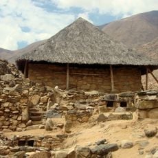
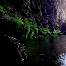
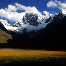
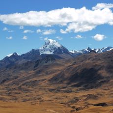
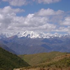
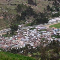
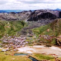
Pasco Province is an administrative region in central Peru's highlands, spanning mountainous terrain with steep ridges and deep valleys. The area comprises several districts centered around mining operations that have sustained the local economy for generations.
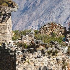
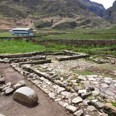
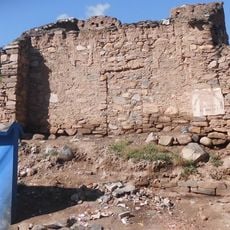
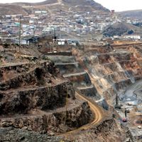
The region gained economic importance during the 1800s when settlers arrived and began developing mining operations. Those early ventures established the foundation for the area's continued role in Peru's mining sector.
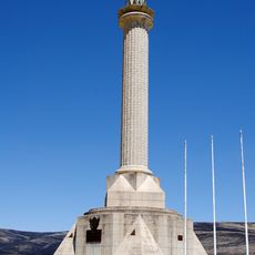
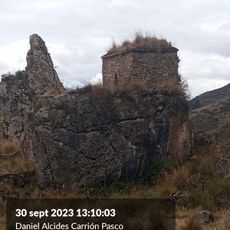
The communities here maintain strong ties to mining heritage through daily life and local celebrations. Festivals and gatherings reflect the deep connection between the region's people and the extraction traditions that shaped their identity.
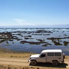
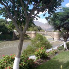
The provincial capital connects to Lima through a network of mountain roads served by regular bus routes. During the rainy season, these roads demand careful driving and longer travel times, so plan accordingly for variable conditions.
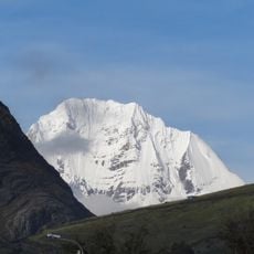
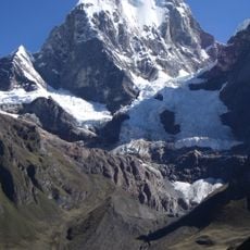
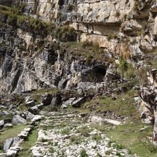
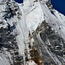
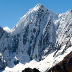
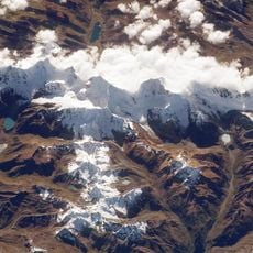
The region contains several mountain ranges, including one that extends into neighboring provinces and serves as a natural geographic boundary. This mountain formation shapes how travelers experience the landscape and navigate through the terrain.
The community of curious travelers
AroundUs brings together thousands of curated places, local tips, and hidden gems, enriched daily by 60,000 contributors worldwide.