Enable Location

We need your location to show you interesting places around you

Discover nearby places

Find interesting locations and hidden gems around you

Precise directions

Get accurate directions and distances to places

Your location is never shared with other users. It's only used when you tap the location button.

Log in to your account

Start exploring — it's free

Trusted by 62,979 travelers worldwide

Continue with Google
Continue with Apple
or

We will send you a code to connect

By continuing, you accept our Terms and Conditions and our Privacy Policy

Check your inbox

We've sent a pincode in your inbox. Please enter the code below.

Discussion Reviews Photo
10.7k Popularity

Chota District, Administrative district in Cajamarca Region, Peru

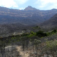
Chota is an administrative district in Cajamarca Region located in the Andes of northern Peru, covering mountainous terrain at high elevation. The area is organized into smaller administrative subdivisions that serve the local population spread across the territory.

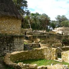
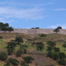
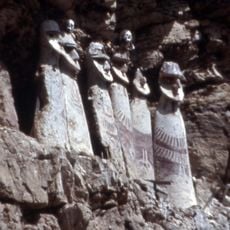
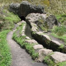
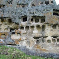
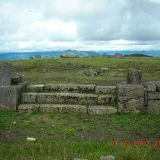
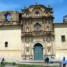
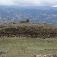
The area was home to early cultures before Spanish arrival and was later incorporated into an empire under rulers who integrated the region into their administrative system. These changes shaped settlement patterns and local governance for centuries to come.

The San Juan festival, celebrated from June 13 to June 24, features traditional concerts, regional dishes, folk dances, bullfights, and beauty contests at Sanjuanpampa.

Visitors should prepare for the high elevation since the area sits in the Andes where the air is thinner. The best time to explore is during the drier months when roads and paths are more accessible.

The Plaza de Toros El Vizcaino stands as Peru's second largest bullring, establishing Chota's position as the primary bullfighting center in northern Peru.

The community of curious travelers

AroundUs brings together thousands of curated places, local tips, and hidden gems, enriched daily by 60,000 contributors worldwide.

Start exploring
Location
Capital city
Chota
Elevation above the sea
2,388 m
Shares border with
Conchán District, Chalamarca District, Bambamarca District, Hualgayoc District, Chugur District, Lajas District, Cutervo District, Chiguirip District
GPS coordinates
-6.56025,-78.64975
Latest update
December 10, 2025 15:52
Reviews
Share your experience

No review yet

Discussions
Start a discussion...

No discussion yet

« Chota District - Administrative district in Cajamarca Region, Peru » is provided by Around Us (aroundus.com). Images and texts are derived from Wikimedia project under a Creative Commons license. You are allowed to copy, distribute, and modify copies of this page, under the conditions set by the license, as long as this note is clearly visible.

Discover hidden gems everywhere you go!

From secret cafés to breathtaking viewpoints, skip the crowded tourist spots and find places that match your style. Our app makes it easy with voice search, smart filtering, route optimization, and insider tips from travelers worldwide. Download now for the complete mobile experience.

Around Us App Screenshot

A unique approach to discovering new places

Le Figaro

All the places worth exploring

France Info

A tailor-made excursion in just a few clicks

20 Minutes

Around Us
Travel Guide & Maps
Download

Send to your phone

QR Code
1

Open the camera app on your mobile.

2

Point at the QR code with your camera. A notification will appear.

3

Tap the notification to open the link.