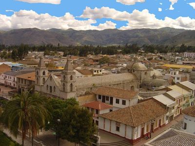
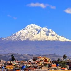
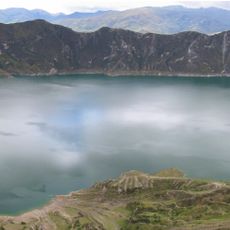
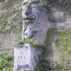
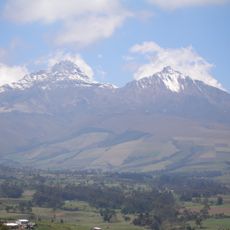
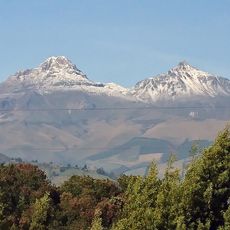
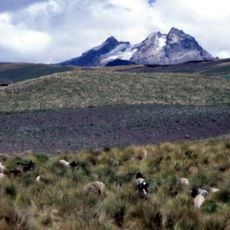
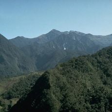
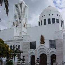
Pujilí Canton, Mountain canton at 2927 meters in Cotopaxi Province, Ecuador
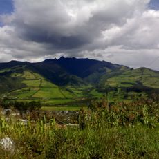
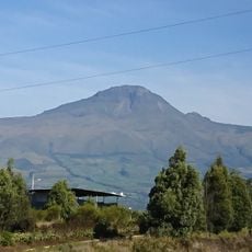
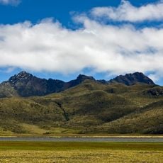
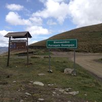
Pujilí is a mountain canton in Cotopaxi Province located at about 2,900 meters (9,500 feet) elevation that comprises several towns including Angamarca, Guangaje, La Victoria, Pilaló, El Tingo, and Zumbahua. The area spans across hilly highland terrain with valleys and mountain landscapes in central Ecuador.
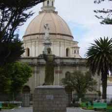
The area was officially established as a canton in 1852, marking an important moment in the administrative organization of Cotopaxi Province. This formal creation allowed better local governance for the highland communities in this part of Ecuador.
The Sunday market in Pujilí gathers indigenous artisans who display their handmade goods, traditional items, and farm products under the covered central plaza. You can meet the craftspeople directly and learn about their work while shopping for locally made pieces.
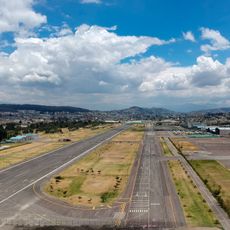
Regular bus services connect the region to major Ecuadorian cities, with a journey of about two hours from the capital Quito. The best time to visit is on market day when artisans and farmers gather to sell their goods.
In La Victoria, ceramics have been made for generations using local methods, with artisans creating painted and glazed pottery using inherited techniques. This craft tradition remains woven into the daily life of the community.
The community of curious travelers
AroundUs brings together thousands of curated places, local tips, and hidden gems, enriched daily by 60,000 contributors worldwide.