La Pampa, Province in central Argentina.
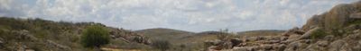
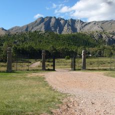
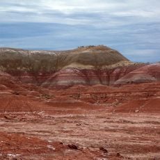
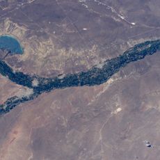
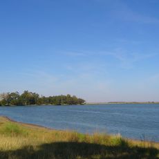
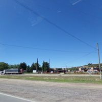
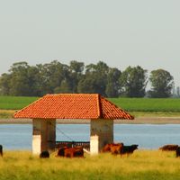
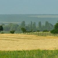
This province lies across the central plains of Argentina, bordered by San Luis, Córdoba, Buenos Aires, Río Negro, Neuquén, and Mendoza. The landscape consists of low grasslands, seasonal wetlands, and occasional river valleys, with farmland and cattle ranches occupying much of the terrain.
The area became an official province only in 1951, after existing for centuries as frontier territory between indigenous lands and colonial influence. Its incorporation came during a national reorganization under the government of Juan Perón.
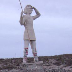
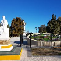
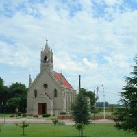
The province maintains strong gaucho traditions through horsemanship demonstrations, rural festivals, and traditional agricultural practices that shape the local identity.
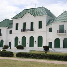
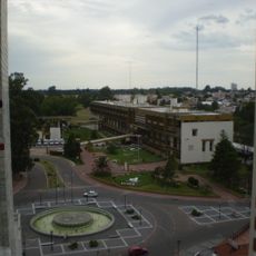
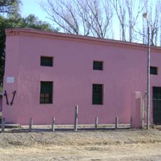
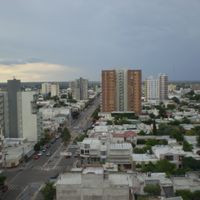
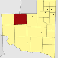
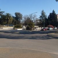
Santa Rosa serves as the administrative center and provides access to different regions through a network of overland roads. Travelers will find information points, lodging, and connections to the rural areas and nature reserves throughout the province.
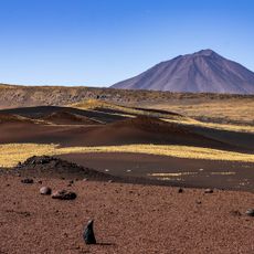
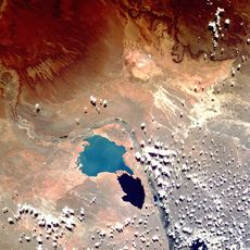
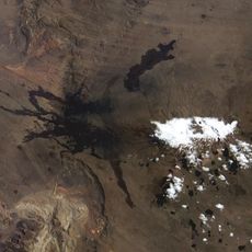
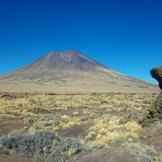
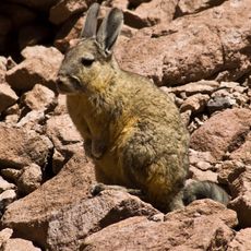
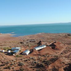
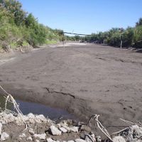
The Salinas del Bebedero form one of the largest salt flats in the country and lie in a remote depression in the west. The white crust attracts pumas, maras, and migratory birds that find food and shelter in this sparse environment.
Location: Argentina
Inception: July 20, 1951
Capital city: Santa Rosa
Elevation above the sea: 279 m
Reference: LP
Shares border with: Mendoza Province, Río Negro Province, Buenos Aires Province, San Luis Province, Córdoba Province, Neuquén Province
Website: https://lapampa.gob.ar
GPS coordinates: -36.61667,-64.28333
Latest update: December 12, 2025 01:39
Photo license: CC0
Reserva Natural La Payunia
417 km
Reserva Provincial La Payunia
440.4 km
Parque Luro
33.1 km
Ernesto Tornquist Provincial Park
255.2 km
Allen Formation
427.5 km
Cerros Colorados Complex
452.9 km
Salinas Grandes
265.6 km
Lago Mari Menuco
435.6 km
Casa de Piedra Reservoir
328.5 km
Payun Matru
443.7 km
Pellegrini Lake
399.2 km
Autódromo Provincia de La Pampa
13.9 km
Laguna Don Tomás
2.9 km
Centro cívico de Santa Rosa
627 m
Autódromo Parque Provincia del Neuquén
422.2 km
Indio Comahue Monument
369 km
Ernesto Bachmann Paleontological Museum
492.6 km
Cerro Azul Formation
108.7 km
Parque Regional Bardas Norte
420.4 km
MNBA Neuquén
421.7 km
Batallón de Ingenieros de Construcción 181
424.8 km
Plaza Ernesto Tornquist
246 km
Patagonian Museum of Natural Sciences
395.1 km
Laguna La Arocena
116.3 km
Payún Liso
447.3 km
Serranía El Peralito
363.5 km
Museo Fortín Cuatreros
285.7 km
Museum of Geology and Paleontology of the National University of Comahue
442 kmVisited this place? Tap the stars to rate it and share your experience / photos with the community! Try now! You can cancel it anytime.
Atreuco Department
Caleu Caleu Department
Department Capital
Catriló Department
Chalileo Department
Chapaleufú Department
Chical Co Department
Conhelo Department
Curacó Department
Guatraché Department
Hucal Department
Lihuel Calel
Limay Mahuida Department
Loventué Department
Maracó Department
Puelén Department
Quemú Quemú Department
Rancul Department
Realicó
Toay Department
Trenel
Utracán Department
Discover hidden gems everywhere you go!
From secret cafés to breathtaking viewpoints, skip the crowded tourist spots and find places that match your style. Our app makes it easy with voice search, smart filtering, route optimization, and insider tips from travelers worldwide. Download now for the complete mobile experience.
A unique approach to discovering new places❞
— Le Figaro
All the places worth exploring❞
— France Info
A tailor-made excursion in just a few clicks❞
— 20 Minutes