Uruguay River, Major river system between Brazil, Argentina, and Uruguay, South America.
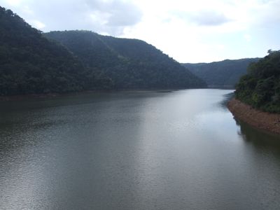
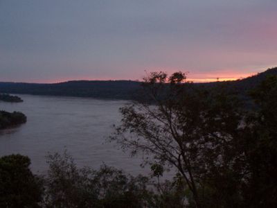
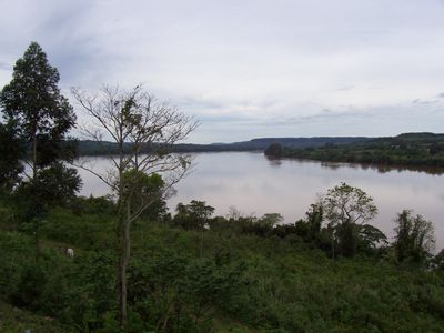
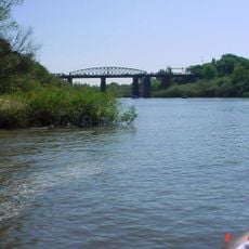
The Uruguay River begins where the Canoas and Pelotas rivers meet and flows 1,838 kilometers southwest until it reaches the Río de la Plata estuary. Along its course, it forms rapids and collects water from numerous tributaries that drain the basin shared by Brazil, Argentina, and Uruguay.
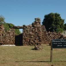
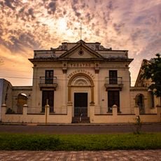
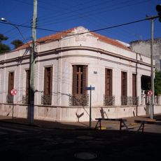
The river has marked territorial boundaries since colonial times, influencing how European powers divided the region among themselves. During the 19th century, it became an internationally recognized border that remains in place today.
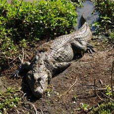
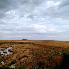
Multiple indigenous communities have maintained connections to the river, utilizing its resources for fishing, transportation, and traditional practices.
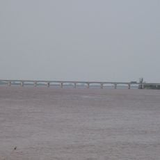
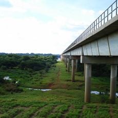
Ocean vessels can navigate upstream as far as Paysandú, while smaller boats reach Salto, supporting trade and passenger movement along the river. Some sections of the banks offer access points to the water that vary in usability depending on season and current.
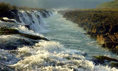
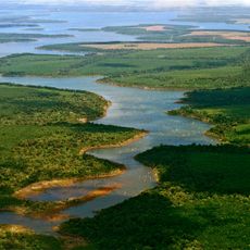
The Moconá Falls form a 3-kilometer-wide curtain of water that appears roughly 215 days each year when river levels allow. At low water, this creates an unusual setup where the water drops parallel to the current rather than across it.
The community of curious travelers
AroundUs brings together thousands of curated places, local tips, and hidden gems, enriched daily by 60,000 contributors worldwide.