
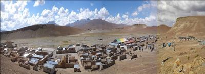
Quetena, mountain in Bolivia
Location: Potosí Department
Elevation above the sea: 5,730 m
GPS coordinates: -22.26083,-67.41556
Latest update: April 16, 2025 21:41
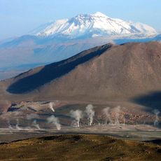
El Tatio
61.8 km
Silala
66.8 km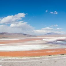
Laguna Colorada
38.3 km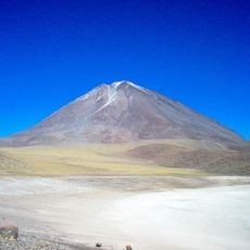
Licancabur
79.8 km
Eduardo Abaroa Andean Fauna National Reserve
38.9 km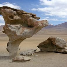
Árbol de Piedra
53.5 km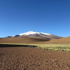
Cerro Zapaleri
66.1 km
Uturuncu
23.6 km
Sairecábur
70.6 km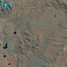
Cerro Panizos
68.1 km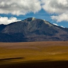
Putana
55.8 km
Juriques
77.6 km
Linzor
58.2 km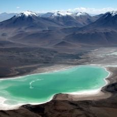
Mount Nelly
59.9 km
Tocorpuri
52.6 km
Cerro del León
72.4 km
Cerro Lípes
67 km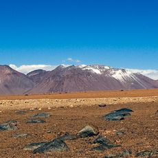
Cerro Guayaques
72.7 km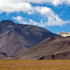
Cerro Curiquinca
58.9 km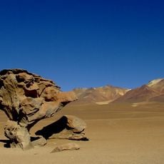
Qhawana
58.9 km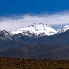
Escalante
62.1 km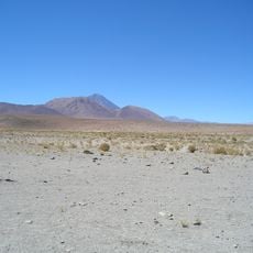
Cerro Chaxas
82 km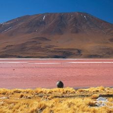
Jorcada
44.4 km
Apachita
43.9 km
Cerro Toconce
68.7 km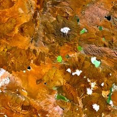
Luru Mayu
40.6 km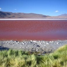
Sanawrya
20.1 km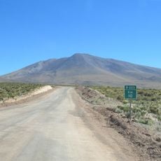
Cerro Jorquencal
73 kmReviews
Visited this place? Tap the stars to rate it and share your experience / photos with the community! Try now! You can cancel it anytime.
Discover hidden gems everywhere you go!
From secret cafés to breathtaking viewpoints, skip the crowded tourist spots and find places that match your style. Our app makes it easy with voice search, smart filtering, route optimization, and insider tips from travelers worldwide. Download now for the complete mobile experience.

A unique approach to discovering new places❞
— Le Figaro
All the places worth exploring❞
— France Info
A tailor-made excursion in just a few clicks❞
— 20 Minutes