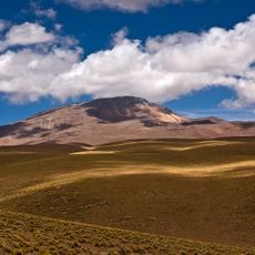
Luru Mayu, Mountain summit in Sud Lípez Province, Bolivia.
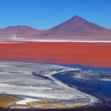
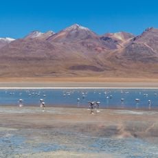
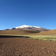
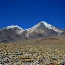
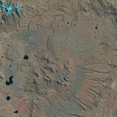
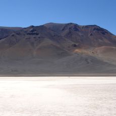
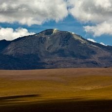
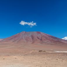
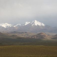
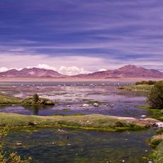
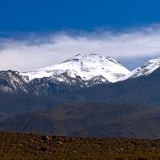
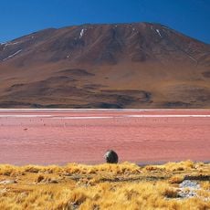
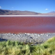
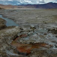
Luru Mayu is a mountain summit in Sud Lipez Province with an elevation of about 5,888 meters (19,318 feet) in the Eduardo Avaroa Andean Fauna National Reserve. It sits southeast of Laguna Loromayu and features steep rocky slopes and high-altitude vegetation.
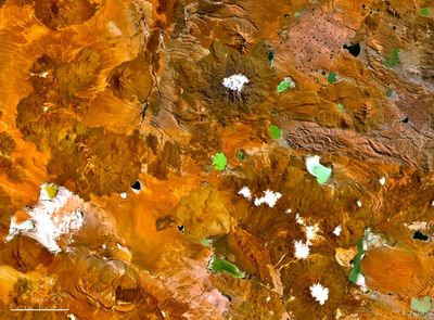
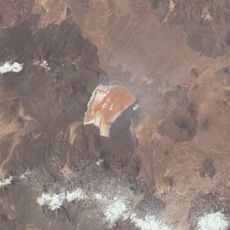
The mountain was first documented on Bolivian topographic maps, particularly in the IGM 1:50,000 series. This mapping effort helped establish precise geographical knowledge of the Andean highlands region.
The name comes from Quechua words where 'luru' means pip or seed and 'mayu' means river. Local people use these terms to describe the landscape around them.
Visitors should prepare for extreme altitude conditions and secure necessary permits for the protected area. Layered warm clothing is essential since temperatures drop quickly and conditions can be harsh.
The mountain sits southeast of a lake that shares a similar name, creating a geographical pairing visible on maps. This connection between peak and water body is typical of the topography in this remote Andean region.
The community of curious travelers
AroundUs brings together thousands of curated places, local tips, and hidden gems, enriched daily by 60,000 contributors worldwide.