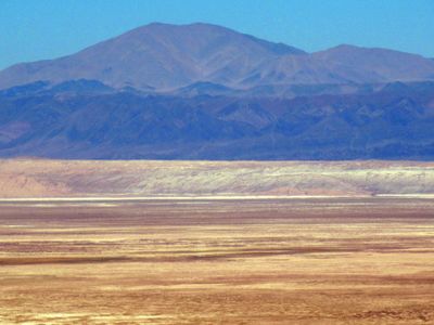
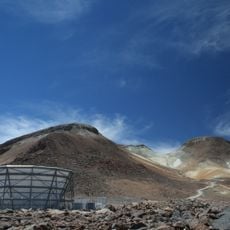
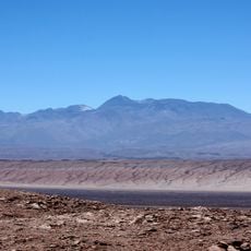
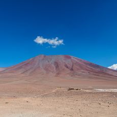
Cerro del Quimal, Mountain summit in Cordillera Domeyko, Chile
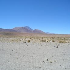
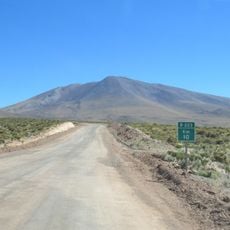
Cerro del Quimal is a peak in the Cordillera Domeyko lying west of Salar de Atacama at approximately 3,700 meters elevation. The summit sits in a remote area and can be approached from multiple directions, offering hikers flexibility in planning their ascent route.
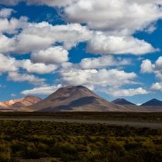
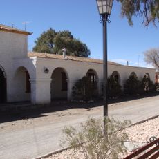
The peak forms part of the Cordillera Domeyko, a mountain range extending roughly 600 kilometers north to south along the eastern edge of the Atacama Desert. This geological formation has shaped the landscape for millions of years and influenced settlement patterns for early inhabitants in the region.
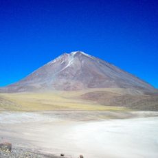
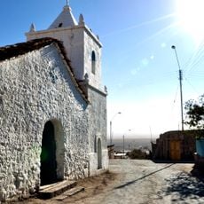
The Likan-Antay people recognize this peak as Mama Kimanchu in the Kunza language, a name rooted in feminine energy and its connection to rainfall and crop fertility. This spiritual significance shaped how local communities understood the mountain's role in their lives and continues to influence how the place is perceived today.
The mountain lacks established hiking trails, so visitors need good navigation skills and can approach from various directions depending on their starting point. Plan your visit during the drier months and bring plenty of water plus gear suited to high altitude conditions.
On August 1st at dawn, the neighboring Licancabur mountain casts its shadow across this peak, a rare astronomical alignment. This annual occurrence reveals the precise geographic positioning of the two mountains and draws attention from those interested in natural phenomena.
The community of curious travelers
AroundUs brings together thousands of curated places, local tips, and hidden gems, enriched daily by 60,000 contributors worldwide.