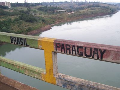
Brazil–Paraguay border, International land boundary between Foz do Iguaçu and Corumbá, Brazil.
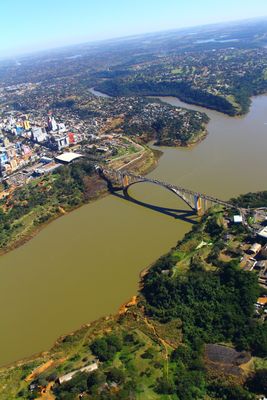
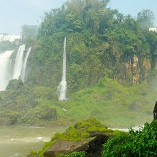
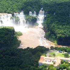
The Brazil-Paraguay border stretches across 1,366 kilometers through varied landscapes, from populated towns to wetlands along the Paraná River system. The boundary largely follows river courses, especially the Paraná and its tributaries, which form the natural borderline.
Following the Paraguayan War, a peace treaty in 1872 confirmed the current border line and recognized territories held by Portuguese and Brazilian settlers. This agreement shaped the region's division between the two countries as it stands today.
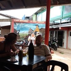
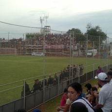
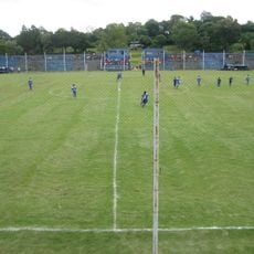
Daily interactions between Brazilian and Paraguayan communities shape the border region, visible in the markets and streets where people from both sides meet and trade. The mix of languages, products, and local customs reflects how closely the two societies are intertwined across the boundary.
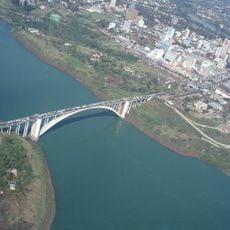
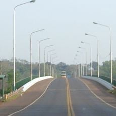
Most crossings happen at established checkpoints like the Friendship Bridge near Foz do Iguaçu, where many nationalities can enter without a visa. It helps to check the hours of operation for the specific border crossing and keep your passport and travel documents handy.
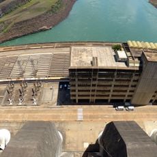
The Itaipu Dam sits right on the border and ranks among the world's largest hydroelectric plants, generating power for both nations. This shared facility demonstrates how close economic ties between the countries work in practice.
The community of curious travelers
AroundUs brings together thousands of curated places, local tips, and hidden gems, enriched daily by 60,000 contributors worldwide.