Enable Location

We need your location to show you interesting places around you

Discover nearby places

Find interesting locations and hidden gems around you

Precise directions

Get accurate directions and distances to places

Your location is never shared with other users. It's only used when you tap the location button.

Guarujá

Log in to your account

Start exploring — it's free

Trusted by 61,535 travelers worldwide

Continue with Google
Continue with Apple
or

We will send you a code to connect

By continuing, you accept our Terms and Conditions and our Privacy Policy

Check your inbox

We've sent a pincode in your inbox. Please enter the code below.

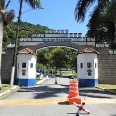
Guarujá, Coastal municipality in São Paulo, Brazil

Description

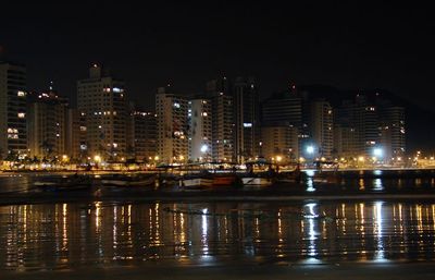
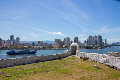
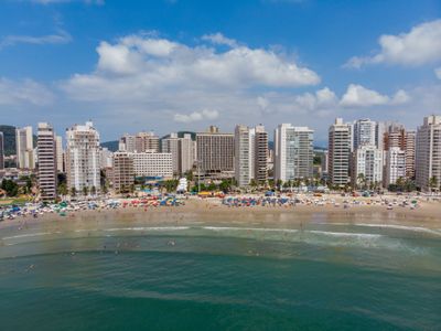
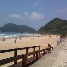
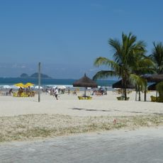
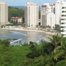
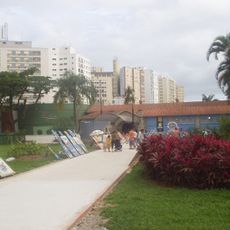
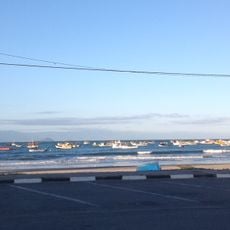
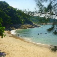
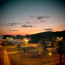
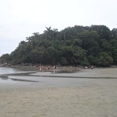
Guarujá is a coastal city on Santo Amaro Island in São Paulo state that stretches along the South Atlantic and includes 27 beaches. Pitangueiras and Enseada are among the largest and most recognized beaches, while smaller coves sit along the rockier sections of the island coastline.

History

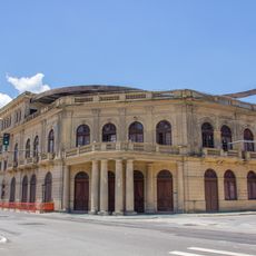
The area was initially a small district of Santos and became an independent municipality in 1934. This change came with the growing number of residents and the development of beach resorts along the island.

Culture

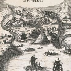
The name comes from the Tupi language and means narrow path, a reminder of the terms indigenous peoples gave to the coastal landscapes of Brazil. This origin appears in other geographical names across the region that remain in use today.

Practical

Travelers from São Paulo reach the island via the Imigrantes highway in under an hour, and regular bus lines connect both locations daily. Most beaches sit close to one another, so you can walk or take short rides between them.

Did you know?

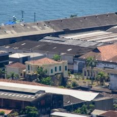
The Santos Air Force Base sits within city limits and was the training ground for the Bosnia and Herzegovina national team during the 2014 FIFA World Cup. This military facility shares space with civilian residential areas and beaches along the coast.

Location
Inception
June 19, 1934
Elevation above the sea
4 m
Shares border with
Bertioga, Santos
GPS coordinates
-23.99361,-46.25639
Latest update
December 13, 2025 15:39

AroundUs brings together thousands of curated places, local tips, and hidden gems, enriched daily by 60,000 contributors worldwide. Discover all places nearby (São Paulo).

« Guarujá - Coastal municipality in São Paulo, Brazil » is provided by Around Us (aroundus.com). Images and texts are derived from Wikimedia project under a Creative Commons license. You are allowed to copy, distribute, and modify copies of this page, under the conditions set by the license, as long as this note is clearly visible.

Discover hidden gems everywhere you go!

From secret cafés to breathtaking viewpoints, skip the crowded tourist spots and find places that match your style. Our app makes it easy with voice search, smart filtering, route optimization, and insider tips from travelers worldwide. Download now for the complete mobile experience.

Around Us App Screenshot

A unique approach to discovering new places

Le Figaro

All the places worth exploring

France Info

A tailor-made excursion in just a few clicks

20 Minutes

Around Us
Travel Guide & Maps
Download

Send to your phone

QR Code
1

Open the camera app on your mobile.

2

Point at the QR code with your camera. A notification will appear.

3

Tap the notification to open the link.