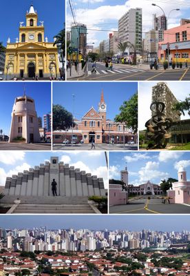
Campinas, Major university city in São Paulo state, Brazil
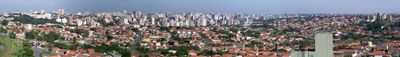
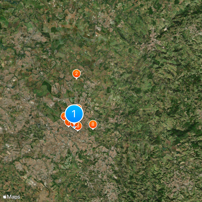
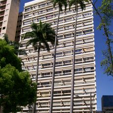
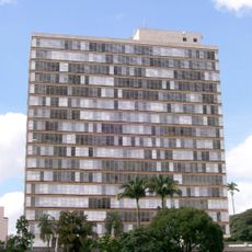
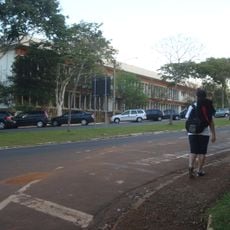
Campinas is a large city in São Paulo state located roughly 90 kilometers (56 miles) northwest of the state capital at an elevation of 685 meters (2,247 feet). The metropolitan area covers twenty municipalities with a combined population of 3.6 million residents.
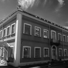
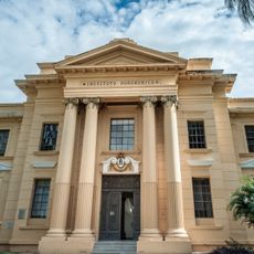
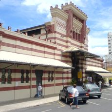
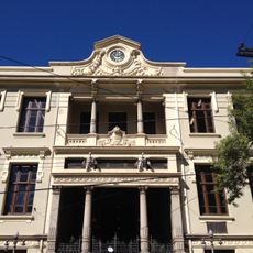
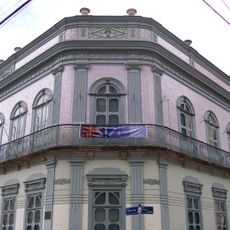
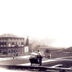
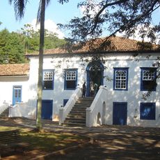
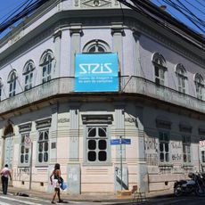
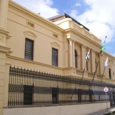
The settlement was founded in 1774 as a small outpost and grew into a major commercial hub during the 19th century through coffee, cotton, and sugarcane farming. Economic growth attracted immigrants from many countries, shaping the structure and character of the modern city.
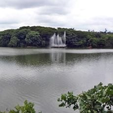
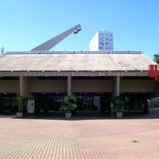
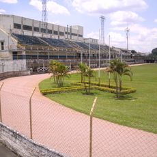
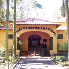
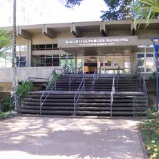
Students from across the country shape daily life, filling cafés, theaters, and cultural centers with energy every evening. On weekends, families gather in large parks where grilling together and playing sports form part of the local routine.
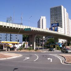
Viracopos International Airport connects the city to destinations worldwide, while an extensive highway network links it to São Paulo and Brasília. Public buses run regularly through different neighborhoods, though checking routes ahead helps with planning your movements around town.
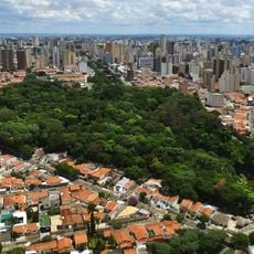
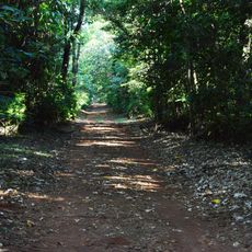
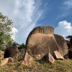
The Mata de Santa Genebra forest ranks as the second largest urban forest in Brazil, sheltering hundreds of plant species within the metropolitan boundaries. Trails wind through this protected area, offering visitors a direct encounter with the original Atlantic vegetation of the region.
Location: São Paulo
Inception: July 14, 1774
Elevation above the sea: 685 m
Shares border with: Paulínia, Monte Mor, Hortolândia, Indaiatuba, Itupeva, Jaguariúna, Morungaba, Pedreira, Sumaré, Valinhos
Website: https://portal.campinas.sp.gov.br
GPS coordinates: -22.90091,-47.05729
Latest update: December 14, 2025 23:34
Sirius
10.4 km
Parque Portugal
2.9 km
Torre do Castelo
2.3 km
Isaura Teles Alves de Lima lagoon
3 km
Bosque dos Jequitibás
1.2 km
Colégio Culto à Ciência
1.2 kmParque Ecológico Monsenhor Emílio José Salim
4 km
Edifício Itatiaia
322 m
Instituto Agronômico de Campinas
1.2 km
Mercado Municipal de Campinas
706 m
Mata de Santa Genebra
10.2 km
Escola Estadual Carlos Gomes
132 m
Palácio dos Azulejos
711 m
Centro de Convivência
417 m
Parque Pico Das Cabras
23.6 km
Fazenda Santa Genebra
15.9 km
Casa Grande e Tulha
2 kmObservatório Municipal de Campinas Jean Nicolini
23.7 km
Estádio Cerecamp
1.4 km
Palácio dos Jequitibás
25 m
Museu de História Natural
1.3 km
Viaduto São Paulo
1.2 km
Sede da Fazenda Mato Dentro
4 km
Museu da Imagem e do Som de Campinas
711 m
Musée d'Art contemporain de Campinas
39 m
Rádio Muda
9.5 km
Faculdade de Engenharia Elétrica e da Computação da Universidade Estadual de Campinas
8.9 km
Palácio da Mogiana
950 mVisited this place? Tap the stars to rate it and share your experience / photos with the community! Try now! You can cancel it anytime.
Discover hidden gems everywhere you go!
From secret cafés to breathtaking viewpoints, skip the crowded tourist spots and find places that match your style. Our app makes it easy with voice search, smart filtering, route optimization, and insider tips from travelers worldwide. Download now for the complete mobile experience.
A unique approach to discovering new places❞
— Le Figaro
All the places worth exploring❞
— France Info
A tailor-made excursion in just a few clicks❞
— 20 Minutes