Mogale City Local Municipality, Administrative municipality in West Rand District, South Africa
Mogale City Local Municipality is an administrative region centered on Krugersdorp with several rural settlements scattered across its territory. It is divided into districts that together form a single governing area serving hundreds of thousands of residents.
The municipality was established in 2000 as part of South Africa's major reorganization of local government after apartheid ended. This reshaping aimed to create more efficient and closer governance structures for local communities.
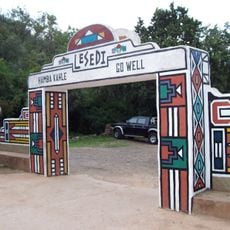
The area is shaped by people who speak different languages in their daily lives, creating a diverse community where Tswana, Afrikaans, and Zulu voices are heard. This variety influences how neighborhoods function and how residents interact with one another.
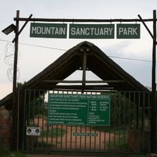
The area is divided into several administrative districts governed by elected representatives. Visitors can find various villages and neighborhoods that are accessible on foot or by car.
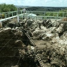
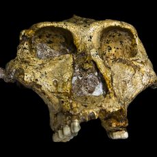
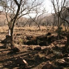
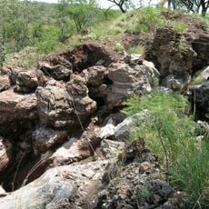
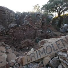
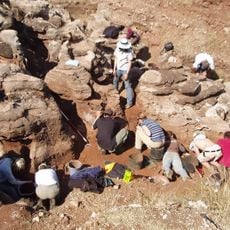
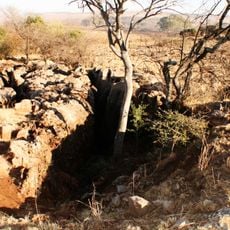
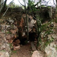
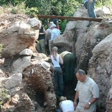
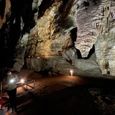
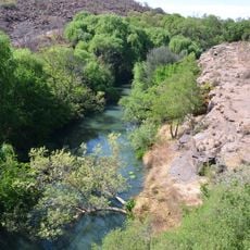
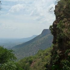
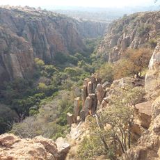
The northern section of the area contains a portion of a major archaeological world heritage site nestled between two mountain ranges. This zone holds importance for its paleontological discoveries.
Location: West Rand District Municipality
Inception: December 5, 2000
Capital city: Krugersdorp
Elevation above the sea: 1,585 m
Shares border with: Rustenburg Local Municipality, Local Municipality of Madibeng, City of Tshwane Metropolitan Municipality, City of Johannesburg Metropolitan Municipality, Randfontein Local Municipality, Merafong City Local Municipality
Website: http://mogalecity.gov.za
GPS coordinates: -26.00000,27.66670
Latest update: December 7, 2025 20:25
Cradle of Humankind
3.7 km
Rising Star Cave
14.9 km
Sterkfontein
7 km
The Coca-Cola dome
28.5 km
Swartkrans
14.6 km
Walter Sisulu National Botanical Garden
19.9 km
Malapa Fossil Site, Cradle of Humankind
17.8 km
Lion & Safari Park
28.3 km
Gondolin Cave
26.4 km
Lesedi Cultural Village
28.1 km
Drimolen
9.6 km
Dobsonville Stadium
32 km
Wonder Cave
11 km
Kromdraai fossil site
14.6 km
Hartebeesthoek Radio Astronomy Observatory
12.3 km
Gladysvale Cave
13.9 km
Coopers Cave
8.2 km
Plovers Lake
11.3 km
Motsetsi
19.5 km
Paardekraal Monument
15.3 km
Grottes de Sterkfontein
6.9 km
Magaliesberg Biosphere Reserve
19.7 km
Magaliesberg Protected Natural Environment
22.6 km
Mountain Sanctuary Park
23.6 km
HartRAO 26m Radio Telescope
12.4 km
MeerKAT prototype dish
12.4 km
Hamerkop Kloof
30 km
Castle Gorge
23.2 kmVisited this place? Tap the stars to rate it and share your experience / photos with the community! Try now! You can cancel it anytime.
Discover hidden gems everywhere you go!
From secret cafés to breathtaking viewpoints, skip the crowded tourist spots and find places that match your style. Our app makes it easy with voice search, smart filtering, route optimization, and insider tips from travelers worldwide. Download now for the complete mobile experience.
A unique approach to discovering new places❞
— Le Figaro
All the places worth exploring❞
— France Info
A tailor-made excursion in just a few clicks❞
— 20 Minutes