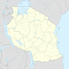
Geography of Tanzania, Physical features of diverse landmasses in East Africa
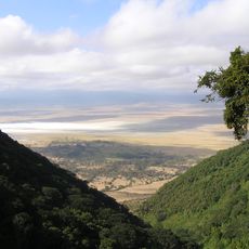
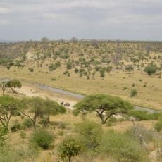
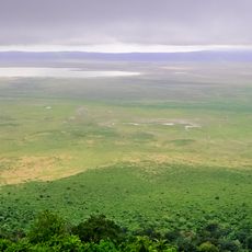
Tanzania covers an area with mountains, savannas, lakes, and coastal regions spread across mainland territory and the islands of Zanzibar. The Great Rift Valley runs through the country from north to south, shaping its overall structure.
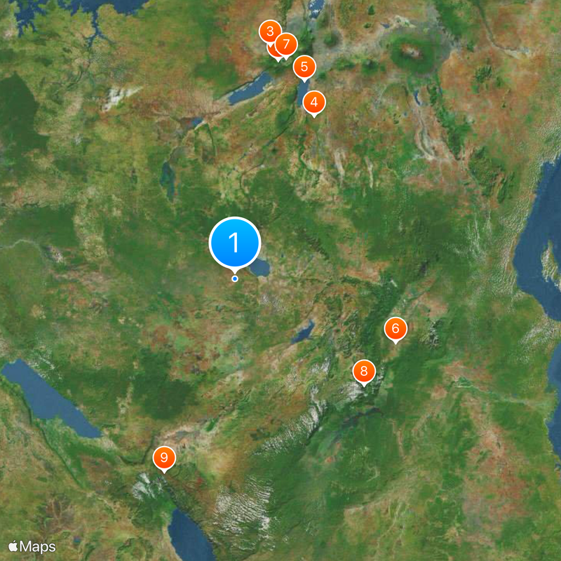
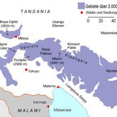
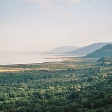
Geological processes over millions of years created the Great Rift Valley with its deep lakes and volcanic mountains. These natural formations became the foundation where human communities later established themselves.
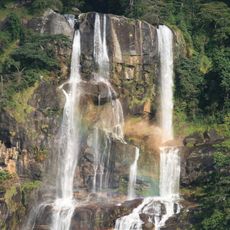
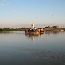
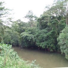
The different landscapes shape how more than 120 ethnic groups live their daily lives, from fishing traditions along the coast to farming in highland areas. Each region has developed its own ways of working with the land and water around it.
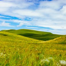
The country is divided into 31 administrative regions with different climate zones, so it helps to learn about conditions in the area you plan to visit. Each region offers different weather patterns and travel conditions depending on the season.
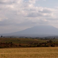
Mount Kilimanjaro stands as Africa's highest peak near the Kenyan border and draws climbers from around the world. Lake Victoria in the north is Africa's largest freshwater lake and borders Kenya and Uganda.
The community of curious travelers
AroundUs brings together thousands of curated places, local tips, and hidden gems, enriched daily by 60,000 contributors worldwide.