Tarangire National Park, National park in northern Tanzania
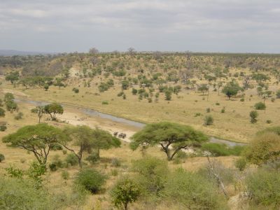
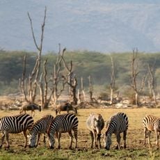
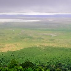
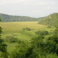
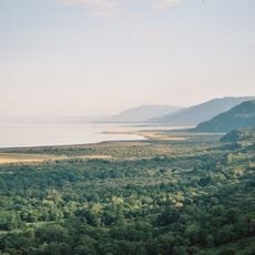
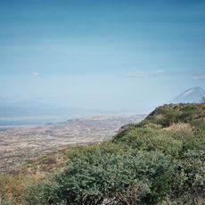
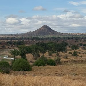
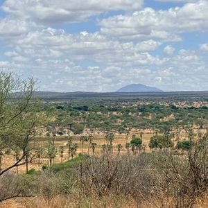
Tarangire National Park is a protected area in northern Tanzania that extends across parts of Dodoma and Manyara regions. The terrain includes open grasslands, acacia woodlands and swamps fed by the Tarangire River.
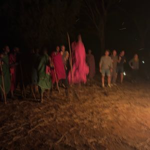
The Tanzanian government established this protected area in 1970 to secure wildlife and their migration routes. Before that, the region was used mainly by semi-nomadic communities who moved through the landscape with their herds.
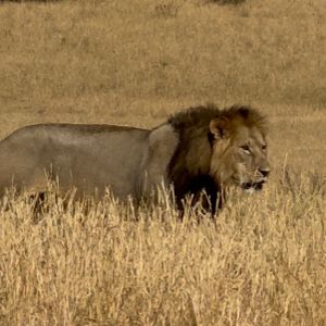
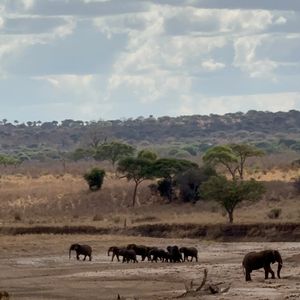
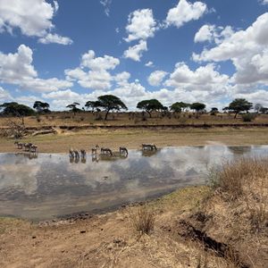
The name Tarangire comes from the river that runs year-round and serves as a lifeline for animals throughout the dry season. During this time, elephants, zebras and wildebeest gather here in concentrations rarely seen elsewhere in East Africa.
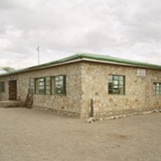
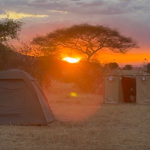
Entry gates open early in the morning and close in the late afternoon so visitors can make full use of daylight. Four-wheel-drive vehicles are recommended as some tracks become difficult to pass after rain.
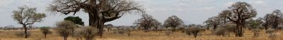
Hundreds of baobabs shape the landscape and some of these trees are several hundred years old. Their thick trunks store water and provide habitat for many bird species that nest in their hollows.
The community of curious travelers
AroundUs brings together thousands of curated places, local tips, and hidden gems, enriched daily by 60,000 contributors worldwide.