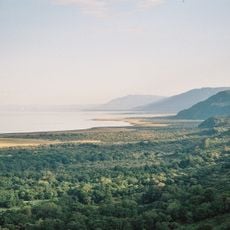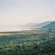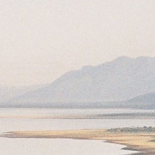
Lake Manyara National Park, National park between Lake Manyara and Great Rift Valley, Tanzania.
Lake Manyara National Park is a 325 km² protected area in northern Tanzania, mostly a narrow strip between the Gregory Rift wall to the west and the alkaline Lake Manyara to the east. The lake covers about 230 km² of the park and is shallow, with a maximum depth of 3.0 m when full. Groundwater forests of fig and mahogany stand near the park gate, while acacia woodland grows at the base of the rift wall.
Sport hunting shaped the Lake Manyara area from the 1920s, first as a controlled game area. It became a game reserve in 1957 and a national park in 1960; about 550 ha were added at the southern end in 1974. UNESCO made the wider landscape a biosphere reserve in 1981.
The park lies beside Mto wa Mbu, a village whose name means "mosquito creek" in Swahili. The Maasai name emanyara refers to the euphorbia bush, though the sources do not document it for this lake. Visitors pass the Kwa Kuchinja wildlife corridor, where several villages stand on land crossed by migrating animals.
The park lies 126 km southwest of Arusha, about an hour and a half by car, and can also be reached from Babati, the capital of Manyara Region; Lake Manyara Airport is nearby. Two rainy seasons shape access: short rains from November to December and long rains from March to May, with April the wettest month at 161 mm over 19 rainy days. July, August and September are driest, with about 1 mm of rain. The adjacent highlands are cooler and wetter than the lakeshore.
The shallow water of the lake attracts over one million lesser flamingos at times, drawn by algae that thrive in the salty shallows. Visitors can also spot 670 different flowering plants across the park, an unusually high count for such a compact area.
The community of curious travelers
AroundUs brings together thousands of curated places, local tips, and hidden gems, enriched daily by 93,656 contributors worldwide.