Kitumbeine Volcano, mountain in Tanzania
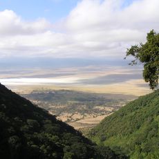
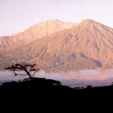
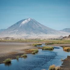
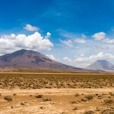
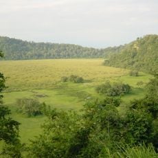
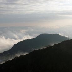
Kitumbeine is a shield volcano in Longido District of Tanzania's Arusha Region, reaching 2,850 metres. Its crater is cut by erosion from the northeast, and from about 1,900 metres upward the slopes are covered by montane forest. The summit lies within the Crater Highlands, and the mountain is shared by the wards of Elang'ata Dapash, Kitumbeine and Iloirienito.
Kitumbeine formed through volcanic processes, with layers of lava and ash building up over time to create its distinctive cone shape. Today the volcano remains inactive, but its geological layers preserve evidence of past eruptions that shaped this part of Tanzania's northern landscape.
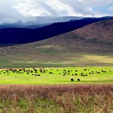
The volcano lies across three wards of Longido District: Elang'ata Dapash, Kitumbeine and Iloirienito. Maasai herders graze livestock on its slopes and burn vegetation, practices the sources name as threats to the endemic Kitumbeine stream frog, which lives in juniper forest and tussock grassland between 2,100 and 2,800 m.
Hiking is possible year-round, though the dry months of June to September and December to March offer the most stable weather for the climb. A local guide is recommended to navigate the rocky and forested sections safely, help protect the mountain's delicate environment, and share knowledge about the area.
A remarkable feature is the Kitumbeine stream frog, a rare species found only on this mountain that inhabits the moist woodlands and grasslands at higher elevations. This endemic frog serves as a reminder of how delicate the local ecosystem is and why visitors should take care to leave no trace.
The community of curious travelers
AroundUs brings together thousands of curated places, local tips, and hidden gems, enriched daily by 93,646 contributors worldwide.