Mount Hanang, Dormant volcano in Manyara Region, Tanzania
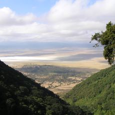
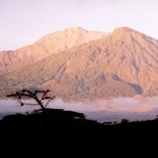
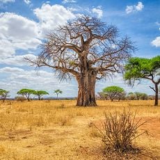
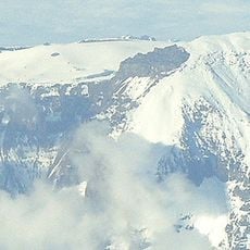
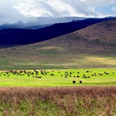
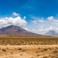
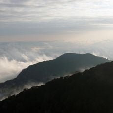
Mount Hanang is a dormant stratovolcano in Hanang District, Manyara Region, rising to 3,420 m. Its summit crater measures 2 km across, and the mountain has a diameter of 10–12 km. Evergreen montane forest covers the wetter eastern and southern slopes between 2,000 and 2,700 m, while drier western and northern slopes carry dry montane forest, bushland and grassland; above 2,700 m are ericaceous heathland and high-altitude grassland.
The volcano formed during the Pleistocene epoch and ranks among Tanzania's highest peaks. Its geological formation has shaped the landscape and left behind mineral-rich soils that remain visible today.
The mountain holds sacred meaning for local communities who maintain traditional practices on its slopes. The fertile volcanic soils shape the daily lives of farming families that have settled throughout its lower regions.
The main route to the summit begins in Katesh. The climb takes about 10 hours and can be done in one day, though many climbers camp overnight on the mountain and reach the top on the second day. Above 2,700 m the forest gives way to heathland and high-altitude grassland, so bring warm layers.
The mountain is a dormant stratovolcano whose last eruption was in the Pleistocene, and it is the southernmost of Tanzania's northern volcanoes. Its base spans 10 to 12 km across, while the crater at the summit measures about 2 km in diameter.
The community of curious travelers
AroundUs brings together thousands of curated places, local tips, and hidden gems, enriched daily by 94,032 contributors worldwide.