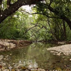
Sumber Jaya, district in West Lampung Regency, Lampung Province, Indonesia
Location: West Lampung
Elevation above the sea: 992 m
GPS coordinates: -5.00926,104.48698
Latest update: March 5, 2025 18:46
Ujung Kulon National Park
215.2 km
Way Kambas National Park
141.1 km
Great Mosque of Banten
217.3 km
Sunda Strait Bridge
184.6 km
Dempo
187 km
Lake Ranau
63.5 km
Gunung Karang
222.8 km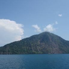
Rakata
165.7 km
Bukit Barisan Selatan National Park
45.8 km
Pulosari
222 km
Muhammad Cheng Hoo Mosque
223.3 km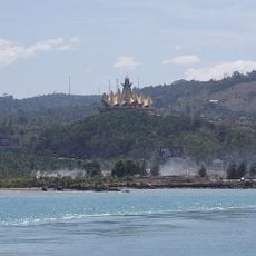
Siger Tower
169.3 km
Peucang Island
210.8 km
Gunung Rajabasa
153.2 km
Panaitan Island
193.4 km
Tambling Wildlife Nature Conservation
101.2 km
Way Halim Stadium
97 km
Mount Besar
110.6 km
Rawa Danau Nature Reserve
210.1 km
Cikoneng Lighthouse
194.8 km
Kasunyatan Mosque
218.4 km
Masjid Carita
208.9 km
Baitul Mukhlisin Islamic Center Mosque
41.2 km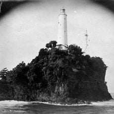
Tanjung Layar Lighthouse
209.5 km
Maung
166.2 km
Masjid Caringin
210.9 km
Pulau Anak Krakatau natural reserve
161.9 km
Pulau Dua Nature Reserve
220 kmVisited this place? Tap the stars to rate it and share your experience / photos with the community! Try now! You can cancel it anytime.
Discover hidden gems everywhere you go!
From secret cafés to breathtaking viewpoints, skip the crowded tourist spots and find places that match your style. Our app makes it easy with voice search, smart filtering, route optimization, and insider tips from travelers worldwide. Download now for the complete mobile experience.

A unique approach to discovering new places❞
— Le Figaro
All the places worth exploring❞
— France Info
A tailor-made excursion in just a few clicks❞
— 20 Minutes