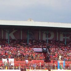
Kediri, Administrative regency in East Java, Indonesia.
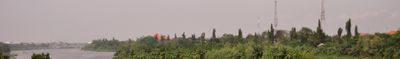
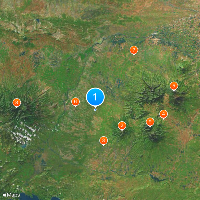
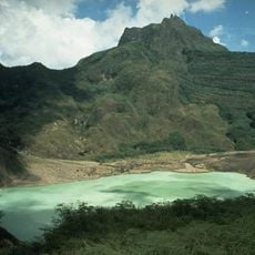
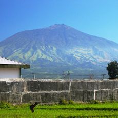
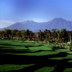
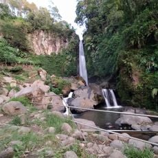
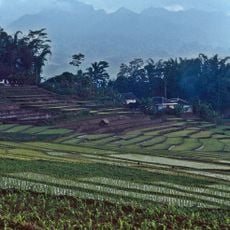
Kediri is a regency in East Java situated between Mount Kelud and Mount Wilis, comprising 26 administrative districts across its territory. The region is defined by agricultural land, particularly rice paddies, sugarcane plantations, and tobacco fields that cover much of the landscape.
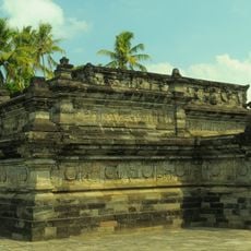
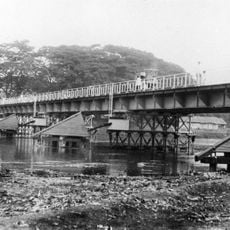
The region became an administrative center during the Dutch colonial period in the 19th century following the Java War. This shift represented a significant change in how the territory was governed and developed.
Traditional Javanese farming methods shape daily life here, with rice paddies and tobacco fields woven into the landscape and local routines. This agricultural heritage continues to influence how communities organize their work and seasons throughout the region.
The administrative center of Ngasem connects to major East Javanese cities through regional roads and regular bus services. These connections make it straightforward for visitors to travel around and explore different areas of the region.
The district of Pare hosts numerous English language schools where students from across Indonesia gather to practice the language. This unexpected educational hub has made Pare a distinctive destination for language learners.
The community of curious travelers
AroundUs brings together thousands of curated places, local tips, and hidden gems, enriched daily by 60,000 contributors worldwide.