Singaraja, administrative village of Indonesia
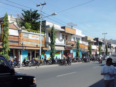
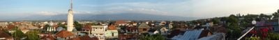
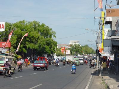
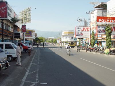
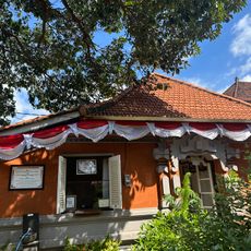
Singaraja is a port city on Bali's northern coast with tree-lined streets, small houses, and lively markets where horse carts and motorcycles move through the streets. The architecture mixes old European colonial buildings with local structures, creating a look that feels more like Java than southern Bali areas.
Singaraja was founded in 1604 when a local ruler named Raja Panji Sakti built a palace and gave the city its name, which means lion king. The Dutch took control in 1849 after a difficult battle, and by the late 1800s the city had become an important trading and government center.
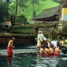
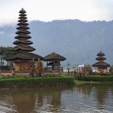
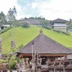
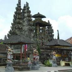
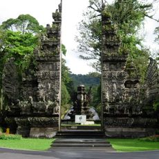
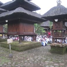
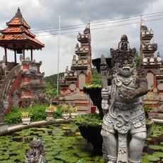
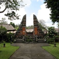
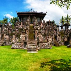
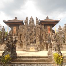
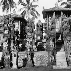
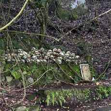
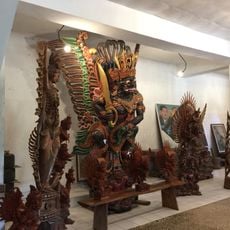
Singaraja takes its name from the lion king and shows the cultural diversity of its history. In the city center, you find a large Hindu temple, a Chinese temple with valuable vases, and a Chinese cemetery that together reflect the heritage of different groups who came here over centuries.
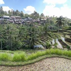
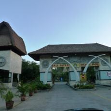
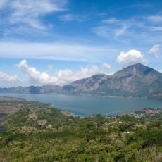
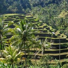
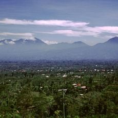
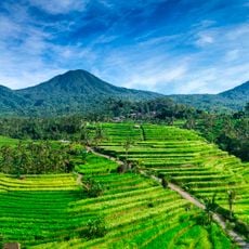
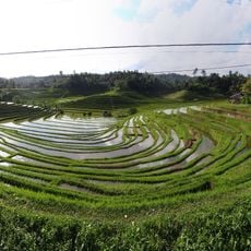
Singaraja is best reached by car from southern Bali over three different routes, with the drive taking a few hours and passing through various landscapes such as volcanic forests and rice fields. Once there, you can hire small buses, motorbikes, and cars to explore the town and nearby areas like waterfalls and villages.
In Gedong Kirtya, a quiet library, ancient books written on palm leaves called lontar are kept that tell stories, myths, and religious beliefs. Many locals fear entering this place because they believe spirits protect the precious manuscripts.
The community of curious travelers
AroundUs brings together thousands of curated places, local tips, and hidden gems, enriched daily by 60,000 contributors worldwide.