
Kampung Kajanan, village in Buleleng, Bali Province, Indonesia
Location: Buleleng
Elevation above the sea: 10 m
GPS coordinates: -8.10590,115.09046
Latest update: March 31, 2025 03:35
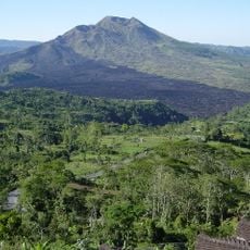
Mount Batur
35 km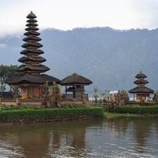
Pura Ulun Danu Bratan
20.2 km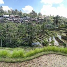
Tegallalang Rice Terraces
42 km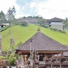
Istana Tampaksiring
42.3 km
Taman Safari Bali
38.4 km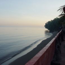
Lovina Beach
9.5 km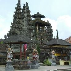
Pura Ulun Danu Batur
31.7 km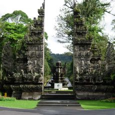
Bali Botanic Garden
20.4 km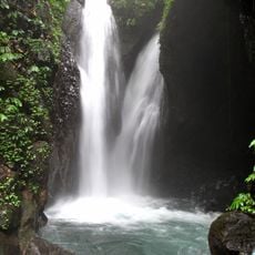
Gitgit Waterfall
12.2 km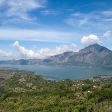
Lake Batur
35.7 km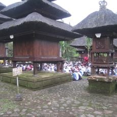
Pura Luhur Batukaru
29.7 km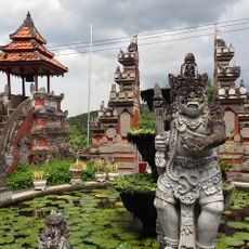
Brahmavihara-Arama
17.3 km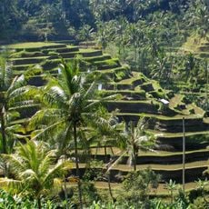
Cultural Landscape of Bali Province: the Subak System as a Manifestation of the Tri Hita Karana Philosophy
38.4 km
Pura Penataran Sasih
20.6 km
Gedong Kirtya
2.2 km
Pura Beji Sangsit
5.4 km
Bratan
20.3 km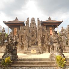
Pura Meduwe Karang
9.9 km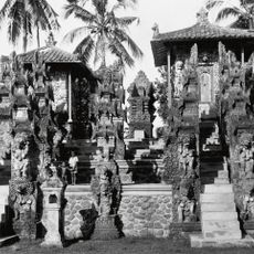
Pura Dalem Segara Madhu
7.8 km
Bali Butterfly Park
41.9 km
Gatep lawas
9.8 km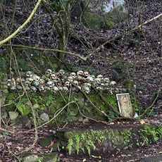
Trunyan Cemetery
40.1 km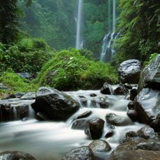
Sekumpul waterfall
12.9 km
I Made ada Garuda
40.4 km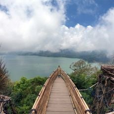
Wanagiri Hidden Hill
15.1 km
Jatiluwih Rice Terraces
29.4 km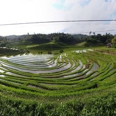
Belimbing Rice Terraces
35.7 km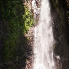
Yeh Mampeh Waterfall
30.2 kmReviews
Visited this place? Tap the stars to rate it and share your experience / photos with the community! Try now! You can cancel it anytime.
Discover hidden gems everywhere you go!
From secret cafés to breathtaking viewpoints, skip the crowded tourist spots and find places that match your style. Our app makes it easy with voice search, smart filtering, route optimization, and insider tips from travelers worldwide. Download now for the complete mobile experience.

A unique approach to discovering new places❞
— Le Figaro
All the places worth exploring❞
— France Info
A tailor-made excursion in just a few clicks❞
— 20 Minutes