Alligator Rivers, River system in Northern Territory, Australia
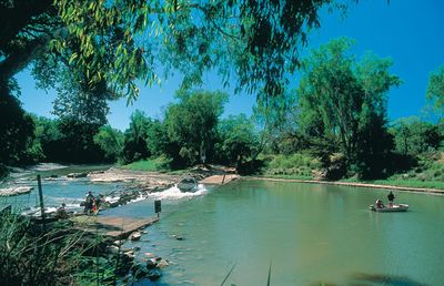
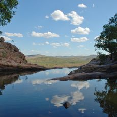
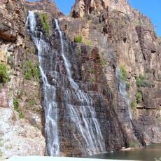
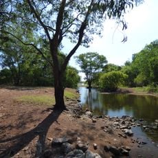
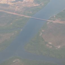
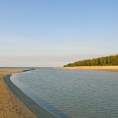
The Alligator Rivers system comprises three main waterways—South, East, and West—that together form a large estuary. These rivers flow through flat terrain and empty into Van Diemen Gulf in the Timor Sea.
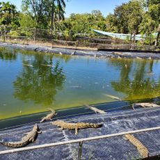
Captain Phillip Parker King explored and named these rivers between 1818 and 1820, mistakenly identifying the local saltwater crocodiles as alligators. The name persisted despite the initial misidentification.
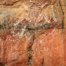
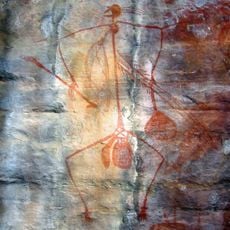
The Bininj/Mungguy peoples hold strong connections to this river region and actively shape how it is managed and protected. Their traditional relationship with the land continues to guide practices and decisions in the area.
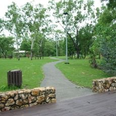
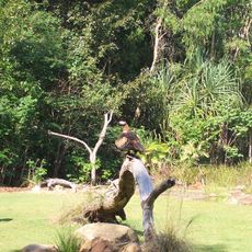
Visitors can access the rivers through Kakadu National Park, where strict safety guidelines apply to water activities. It is important to follow local advice and respect marked warning areas.
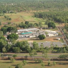
The South River route passes former uranium mining sites near El Sherana, representing an important chapter in local industry. This mining history is an often-overlooked part of the region that visitors can still trace in the landscape.
The community of curious travelers
AroundUs brings together thousands of curated places, local tips, and hidden gems, enriched daily by 60,000 contributors worldwide.