Maybrat Regency, Administrative regency in Southwest Papua, Indonesia
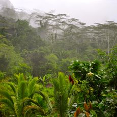
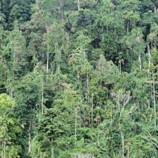
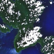
Maybrat Regency is an administrative region in Southwest Papua with mountainous terrain covered in dense tropical forest. Multiple administrative districts are connected through a limited road network that winds through the challenging landscape.
This territory became an independent administrative regency in 2008, splitting from a larger provincial division. The separation aimed to create more responsive local governance for the communities living here.
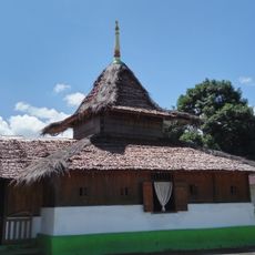
The Maybrat language shapes daily communication across the regency and remains central to community identity. Local people maintain traditional farming methods and gather regularly for collective decisions that guide village life.
Travel here demands good planning due to rough terrain and remote location. Visitors should expect limited services and consider hiring local guides to navigate the roads safely.
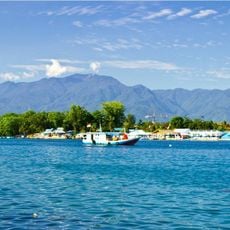
Rain falls throughout the year here, creating a constantly wet environment. Daily temperatures stay consistent year-round, maintaining a tropical climate that shapes life and agriculture.
Location: Southwest Papua
Capital city: Kumurkek
Elevation above the sea: 487 m
Shares border with: Tambrauw Regency, Teluk Bintuni Regency, South Sorong Regency, Sorong Regency
GPS coordinates: -1.21550,132.35092
Latest update: December 10, 2025 15:53
Puncak Jaya
622.4 km
Fort Duurstede
487.4 km
Teluk Cenderawasih National Park
330.9 km
Red-White Bridge
536.2 km
Mount Binaiya
388.9 km
Fort of Our Lady of the Annunciation
539.4 km
Fort Belgica
458.4 km
Sumantri
622.8 km
Fort Amsterdam
542.9 km
Manusela National Park
383.4 km
Wapauwe Old Mosque
542.9 km
Ngga Pulu
623.8 km
Mount Manuk
532.7 km
Fort Nassau
458.7 km
Aketajawe-Lolobata National Park
525.4 km
Fort Du Bus
343.8 km
West Northwall Firn
622.9 km
Amasing Hill
545.5 km
Helen Reef
462.2 km
St. Francis Xavier Cathedral, Ambon
539.4 km
Arfak Reserve
198.4 km
Pattimura Stadium
537.8 km
Meren Glacier
623.7 km
Wollaston Glacier
624.4 km
Rumah Budaya Banda Neira
458.4 km
Fort Ceith
548.6 km
Fort Hollandia
461.5 km
Fort Barneveld
545.9 kmVisited this place? Tap the stars to rate it and share your experience / photos with the community! Try now! You can cancel it anytime.
Discover hidden gems everywhere you go!
From secret cafés to breathtaking viewpoints, skip the crowded tourist spots and find places that match your style. Our app makes it easy with voice search, smart filtering, route optimization, and insider tips from travelers worldwide. Download now for the complete mobile experience.
A unique approach to discovering new places❞
— Le Figaro
All the places worth exploring❞
— France Info
A tailor-made excursion in just a few clicks❞
— 20 Minutes