
Berowra, parish of Cumberland County, New South Wales, Australia
Location: Cumberland
Location: Hornsby Shire
GPS coordinates: -33.56500,151.08444
Latest update: April 11, 2025 08:43
Ku-ring-gai Chase National Park
12.2 km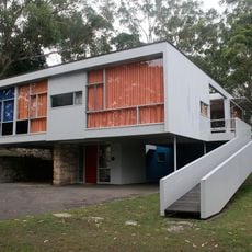
Rose Seidler House
17 km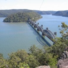
Hawkesbury River Railway Bridge
13.8 km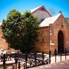
Ebenezer Church
18.2 km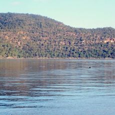
Brisbane Water National Park
18.1 km
Hornsby Water Clock
15.5 km
Peats Ferry Bridge
11 km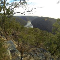
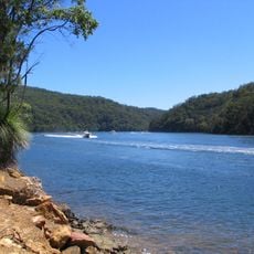
Berowra Valley National Park
8.4 km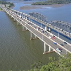
Brooklyn Bridge
11.1 km
Scheyville National Park
18.1 km
Cattai National Park
14.6 km
Long Island
12.7 km
Mahratta, Wahroonga
18.3 km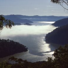
Marramarra National Park
8.3 km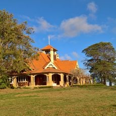
Mount Wilga House
14.3 km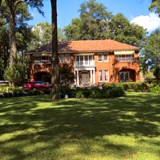
Evatt House
16.6 km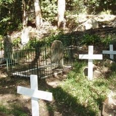
Old Man's Valley Cemetery
14.9 km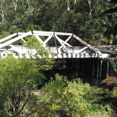
Tunks Creek bridge, Galston
11.3 km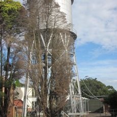
Wahroonga Reservoir
17.4 km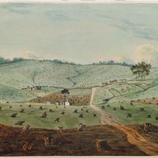
Third Government Farm
18.3 km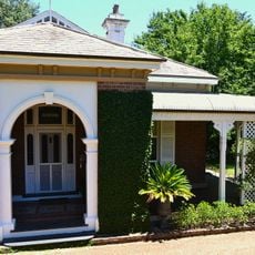
The Briars, Wahroonga
17.2 km
Berith Park
17.5 km
Our Lady of the Rosary Cathedral, Waitara
16.6 km
Jack House, Wahroonga
16.2 km
Cattai Estate
17.2 km
Highlands, Wahroonga
16.5 km
Gilligaloola
17.6 km
Galston Congregational Church Pipe Organ
9.9 kmReviews
Visited this place? Tap the stars to rate it and share your experience / photos with the community! Try now! You can cancel it anytime.
Discover hidden gems everywhere you go!
From secret cafés to breathtaking viewpoints, skip the crowded tourist spots and find places that match your style. Our app makes it easy with voice search, smart filtering, route optimization, and insider tips from travelers worldwide. Download now for the complete mobile experience.

A unique approach to discovering new places❞
— Le Figaro
All the places worth exploring❞
— France Info
A tailor-made excursion in just a few clicks❞
— 20 Minutes