
Jayapura Utara, district in Jayapura City, Papua Province, Indonesia
Location: Jayapura City
Elevation above the sea: 767 m
GPS coordinates: -2.50111,140.67472
Latest update: March 30, 2025 12:58
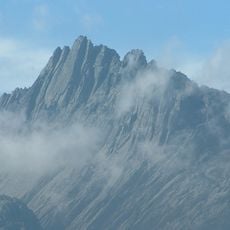
Puncak Jaya
428.4 km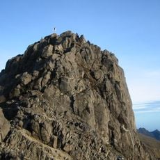
Mount Wilhelm
605.9 km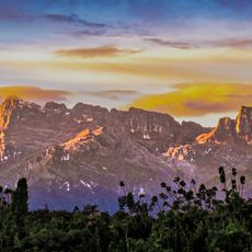
Lorentz National Park
402.9 km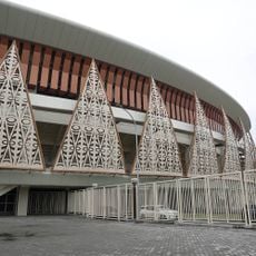
Lukas Enembe Stadium
14.2 km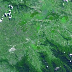
Kuk Swamp
546.2 km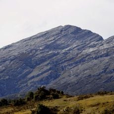
Puncak Mandala
249.4 km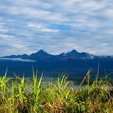
Mont Giluwe
531.6 km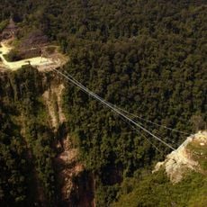
Hegigio Gorge Pipeline Bridge
504.2 km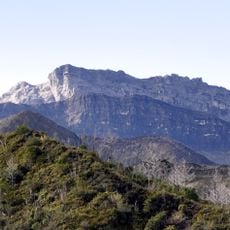
Puncak Trikora
295.8 km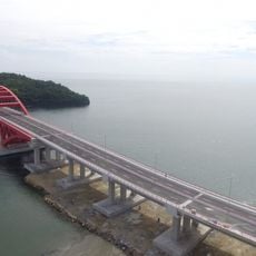
Youtefa Bridge
11.3 km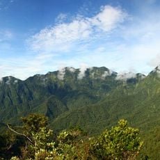
Mount Bosavi
516.3 km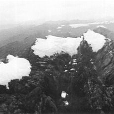
Carstensz Glacier
426.5 km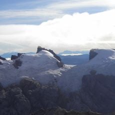
Sumantri
425.9 km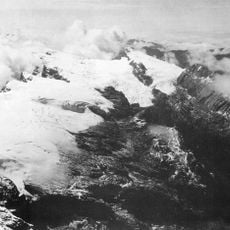
Ngga Pulu
424.9 km
Carstensz East
426 km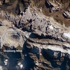
West Northwall Firn
426.1 km
Pantai Hamadi
9.9 km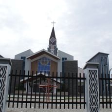
Three Kings Cathedral
478 km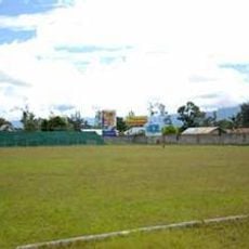
Pendidikan Stadium
261.7 km
Asmat Museum of Culture and Progress
440.5 km
Meren Glacier
425.6 km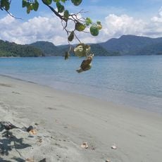
Pantai Amay
34.4 km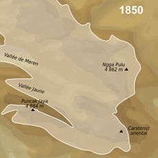
Wollaston Glacier
426.9 km
Pantai Cinta Tua
497.1 km
Mount Hagen Market
543.7 km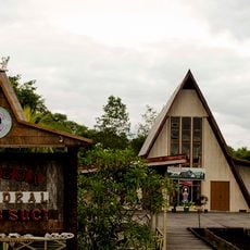
Cathedral of the Holy Cross
440.6 km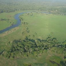
Trans-Fly Complex
629.5 km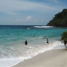
Pantai Sinokisi
49 kmReviews
Visited this place? Tap the stars to rate it and share your experience / photos with the community! Try now! You can cancel it anytime.
Discover hidden gems everywhere you go!
From secret cafés to breathtaking viewpoints, skip the crowded tourist spots and find places that match your style. Our app makes it easy with voice search, smart filtering, route optimization, and insider tips from travelers worldwide. Download now for the complete mobile experience.

A unique approach to discovering new places❞
— Le Figaro
All the places worth exploring❞
— France Info
A tailor-made excursion in just a few clicks❞
— 20 Minutes