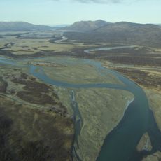
Ugashik-Peulik, Stratovolcano in Lake and Peninsula Borough, Alaska.
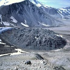
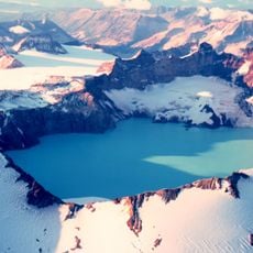
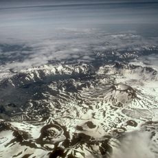
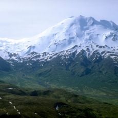
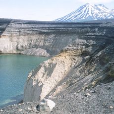
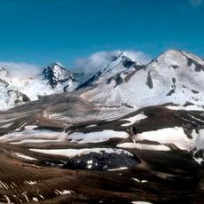
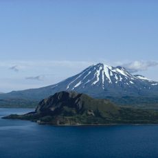
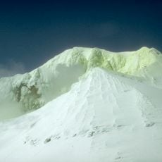
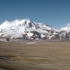
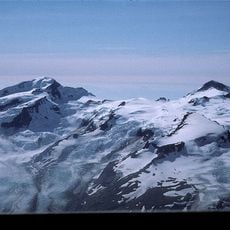
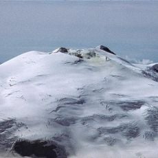
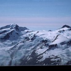
Ugashik-Peulik is a volcanic complex on the Alaska Peninsula, south of Becharof Lake, made up of Mount Peulik and the adjacent Ugashik caldera. The caldera, 4.5 km across, has rims of Jurassic limestone rising to 914 m and encloses five lava domes; Hot Springs Creek drains its floor through a breach in the southern rim. Mount Peulik reaches 1,474 m, its summit a dacitic lava dome partly filling a 1.5 km crater open to the east.
The Ugashik caldera formed at the end of the Pleistocene; the five lava domes inside it and Mount Peulik were built later, during the Holocene. The only eruption observed by Europeans took place in 1814, with explosions rated 3 on the volcanic explosivity index. A reported 1852 eruption is unconfirmed, and carbon-14 dating identified three earlier eruptions about 1,000, 7,850 and 8,850 years ago.
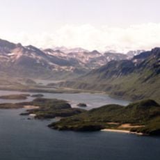
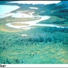
The Ugashik caldera's rim is largely Jurassic limestone, reaching 914 m, and encloses five lava domes; Hot Springs Creek drains the caldera floor through a breach in its southern rim to join Ugashik Creek, which flows northwest into Upper Ugashik Lake.
The best views of the volcano come from the northern shore of Becharof Lake where the landscape opens toward the south. Reaching this area requires boat or plane access since there are no roads.
Collapse debris from Mount Peulik, marked by hummocks, covers 75 square kilometres to the northwest. Lava that flowed north toward Becharof Lake travelled up to six kilometres, while a small dome on the east flank at about 1,200 metres fed a block lava flow.
The community of curious travelers
AroundUs brings together thousands of curated places, local tips, and hidden gems, enriched daily by 93,659 contributors worldwide.