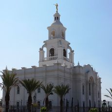
Ensenada, Port city in Baja California, Mexico
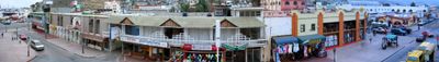
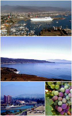
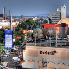
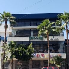
Ensenada is a port city in Baja California, Mexico, that stretches along a bay on the Pacific Ocean. The coastal road connects residential neighborhoods with commercial districts and industrial zones where loading cranes and warehouses shape the skyline.
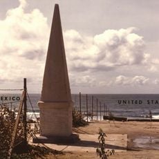
A ranch called Rancho Ensenada de Santos grew into a settlement from 1882 onward when nearby gold mines drew traders and workers. A few years later, the town became the capital of the northern part of Baja California.
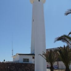
The city name comes from the Spanish word for cove and reflects the sheltered position by the water, where fishing boats still unload their daily catch. Along the waterfront boulevard, street vendors and small restaurants serve freshly prepared fish tacos to locals and travelers alike.
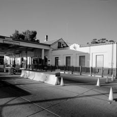
Cruise ships dock regularly at the main port terminal and bring passengers into town, while cargo vessels unload containers for international trade. The different areas are easiest to explore on foot or by taxi, as distances within the downtown core remain manageable.
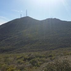
Several research centers in the surrounding area focus on marine biology and study currents and life in the Pacific from small stations. Some of these facilities open their doors to visitors and offer insights into ongoing studies about whales and seals.
Location: Ensenada Municipality
Inception: 1882
Elevation above the sea: 30 m
Website: http://ensenada.gob.mx
GPS coordinates: 31.86589,-116.60298
Latest update: December 12, 2025 21:25
Cross Border Xpress
83.6 km
San Ysidro Port of Entry
85.4 km
North Island Credit Union Amphitheatre
88.9 km
Centro Cultural Tijuana
83.7 km
Constitution 1857 National Park
51.9 km
Bullring by the Sea
88.9 km
Christ of the Sacred Heart
57.8 km
The Trompo Interactive Museum
76.9 km
Otay Mountain
84.2 km
El Vallecito
79.8 km
Initial Point of Boundary Between U.S. and Mexico
89.1 km
Dorian's
85.1 km
Tijuana México Temple
75.8 kmAuditorio Fausto Gutierrez Moreno
80.2 km
Hospital Angeles Tijuana
82 km
Tecate Peak
79.9 km
Guadalupe Canyon Hot Springs
85.1 km
Savage Dam
88.3 km
Park Towers
88.6 km
Green View Tower
81.6 km
El Cubo
83.8 km
Pacific Southwest Railway Museum Association
84.2 km
Museo del Coleccionista
84.4 km
Estación de Inspección de los Estados Unidos-Tecate
79.2 km
History Museum Tijuana
85.1 km
Pacific Crest Trail Southern Terminus
81.6 km
Tijuana Lighthouse
88.4 km
Amber Interactive Center
77.3 kmVisited this place? Tap the stars to rate it and share your experience / photos with the community! Try now! You can cancel it anytime.
Discover hidden gems everywhere you go!
From secret cafés to breathtaking viewpoints, skip the crowded tourist spots and find places that match your style. Our app makes it easy with voice search, smart filtering, route optimization, and insider tips from travelers worldwide. Download now for the complete mobile experience.
A unique approach to discovering new places❞
— Le Figaro
All the places worth exploring❞
— France Info
A tailor-made excursion in just a few clicks❞
— 20 Minutes