Chest opened
+${chestReward.xp} XP
Explorer
NOUVEAU ×${chestReward.collectible.quantity}
tapez pour fermer
Chest locked

Open chests in the app

Around Us is built for your phone — chests unlock when you walk, explore and capture nearby places.

Enable Location

We need your location to show you interesting places around you

Discover nearby places

Find interesting locations and hidden gems around you

Precise directions

Get accurate directions and distances to places

Your location is never shared with other users. It's only used when you tap the location button.

Santa Susana

Log in to your account

Start exploring — it's free

Trusted by 72,915 travelers worldwide

Continue with Google
Continue with Apple
or

We will send you a code to connect

By continuing, you accept our Terms and Conditions and our Privacy Policy

Check your inbox

We've sent a pincode in your inbox. Please enter the code below.

Discussion Reviews 1 Photos
17.7k Popularity

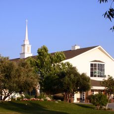
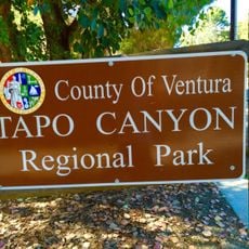
Santa Susana, Census-designated area in Ventura County, California.

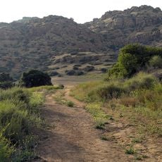
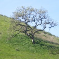
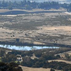
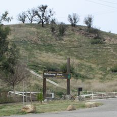
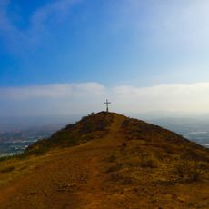
Santa Susana is a place in Ventura County, California, located along the northern slope of the Simi Hills with natural landscapes and hiking trails. The area features open spaces and pathways that wind through rolling terrain.

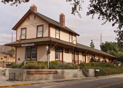
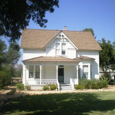
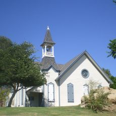
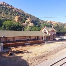
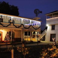
The Southern Pacific Company founded this place in 1903 as a railroad station and built the Santa Susana Depot as a central transportation hub for the growing community. The settlement developed around this infrastructure as an economic center.

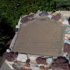
The Chumash people left their mark on this land through artifacts and paintings in Burro Flats Painted Cave, which visitors can still see today.

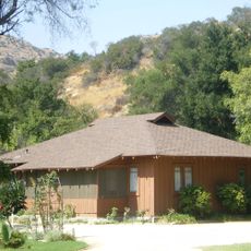
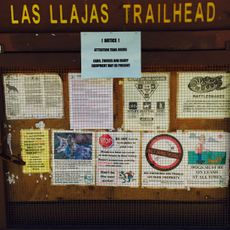
The area is best reached by car, as it sits in hilly terrain away from major roads. Visitors should bring sturdy footwear for the trails and plenty of water in warm weather.

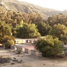
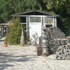
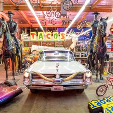
The area contains Grandma Prisbrey's Bottle Village, a striking art creation made from recycled bottles and found objects that reflects decades of craftsmanship and creativity. Visitors can also explore remnants of Corriganville Movie Ranch, where many Western films and television shows were shot.

The community of curious travelers

AroundUs brings together thousands of curated places, local tips, and hidden gems, enriched daily by 60,000 contributors worldwide.

Start exploring
Location
GPS coordinates
34.25810,-118.66600
Latest update
December 7, 2025 19:24
Around this place
Spahn Ranch
United States of America

Spahn Ranch

4.3 km
Ronald Reagan Presidential Library
United States of America

Ronald Reagan Presidential Library

14.1 km
Corriganville Movie Ranch
United States of America

Corriganville Movie Ranch

1.8 km
Leonis Adobe
United States of America

Leonis Adobe

11.4 km
Santa Susana Pass State Historic Park
United States of America

Santa Susana Pass State Historic Park

3.5 km
Shepherd of the Hills Church
United States of America

Shepherd of the Hills Church

9.4 km
Grandma Prisbrey's Bottle Village
United States of America

Grandma Prisbrey's Bottle Village

4.3 km
Upper Las Virgenes Canyon Open Space Preserve
United States of America

Upper Las Virgenes Canyon Open Space Preserve

8.9 km
Orcutt Ranch Horticulture Center
United States of America

Orcutt Ranch Horticulture Center

5 km
Matadome
United States of America

Matadome

13 km
Chatsworth Nature Preserve
United States of America

Chatsworth Nature Preserve

4.4 km
Joel McCrea Ranch
United States of America

Joel McCrea Ranch

17.3 km
Shadow Ranch
United States of America

Shadow Ranch

8.2 km
O'Melveny Park
United States of America

O'Melveny Park

14.6 km
California State University Northridge Botanic Garden
United States of America

California State University Northridge Botanic Garden

13 km
Oviatt Library
United States of America

Oviatt Library

12.7 km
Mount McCoy
United States of America

Mount McCoy

12.7 km
Minnie Hill Palmer House
United States of America

Minnie Hill Palmer House

4.7 km
Tapo Canyon
United States of America

Tapo Canyon

16.1 km
Simi Adobe-Strathearn House
United States of America

Simi Adobe-Strathearn House

12.6 km
Las Llajas Canyon
United States of America

Las Llajas Canyon

4.5 km
Old Trapper's Lodge
United States of America

Old Trapper's Lodge

11.1 km
Chatsworth Community Church
United States of America

Chatsworth Community Church

4.2 km
Colony House
United States of America

Colony House

12.6 km
Valley Relics Museum
United States of America

Valley Relics Museum

16 km
Santa Susana Railroad Depot & Museum
United States of America

Santa Susana Railroad Depot & Museum

521 m
Leonis Adobe
United States of America

Leonis Adobe

11.4 km
Munch Box
United States of America

Munch Box

6.1 km
Show the full map
Reviews
Share your experience

No review yet

Discussions
Start a discussion...

No discussion yet

« Santa Susana - Census-designated area in Ventura County, California » is provided by Around Us (aroundus.com). Images and texts are derived from Wikimedia project under a Creative Commons license. You are allowed to copy, distribute, and modify copies of this page, under the conditions set by the license, as long as this note is clearly visible.

Discover hidden gems everywhere you go!

From secret cafés to breathtaking viewpoints, skip the crowded tourist spots and find places that match your style. Our app makes it easy with voice search, smart filtering, route optimization, and insider tips from travelers worldwide. Download now for the complete mobile experience.

Around Us App Screenshot

A unique approach to discovering new places

Le Figaro

All the places worth exploring

France Info

A tailor-made excursion in just a few clicks

20 Minutes

Around Us
Travel Guide & Maps
Download

Send to your phone

QR Code
1

Open the camera app on your mobile.

2

Point at the QR code with your camera. A notification will appear.

3

Tap the notification to open the link.