Chest opened
+${chestReward.xp} XP
Explorer
NOUVEAU ×${chestReward.collectible.quantity}
tapez pour fermer
Chest locked

Open chests in the app

Around Us is built for your phone — chests unlock when you walk, explore and capture nearby places.

Enable Location

We need your location to show you interesting places around you

Discover nearby places

Find interesting locations and hidden gems around you

Precise directions

Get accurate directions and distances to places

Your location is never shared with other users. It's only used when you tap the location button.

Log in to your account

Start exploring — it's free

Trusted by 72,889 travelers worldwide

Continue with Google
Continue with Apple
or

We will send you a code to connect

By continuing, you accept our Terms and Conditions and our Privacy Policy

Check your inbox

We've sent a pincode in your inbox. Please enter the code below.

Discussion Reviews Photo
16.1k Popularity

Warner Springs, unincorporated community in California

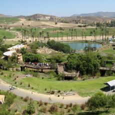
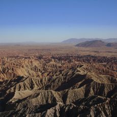
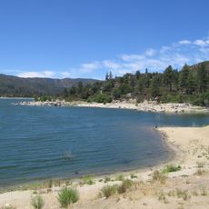
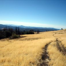
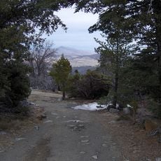
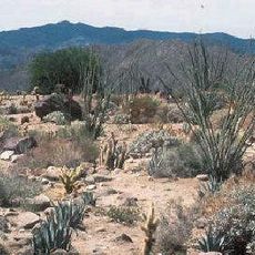
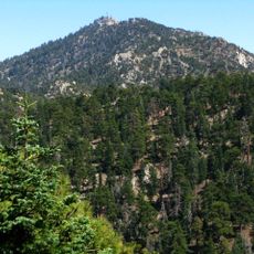
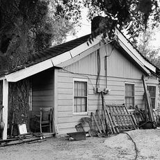
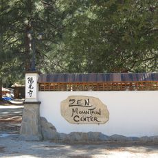
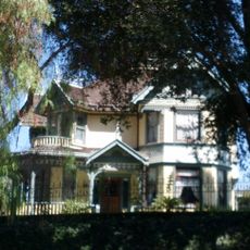
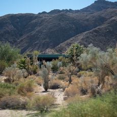
Warner Springs is a small unincorporated community in northern San Diego County situated at high elevation and defined by natural springs. The area consists of open grasslands, scattered trees, and rolling hills with modest buildings and simple roads.

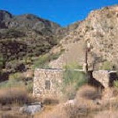
The area was home to the Cupeño people for generations before Spanish explorers found the hot springs in 1795. During the 1800s, a trading post was established and a mission chapel was built, eventually becoming a key stop on the Butterfield Overland Mail stage route.

Warner Springs served as a stopping point for travelers over many centuries, a role that remains central to how locals view the place. The area's identity is deeply tied to the Cupeño people who lived here and used the natural springs for healing and bathing.

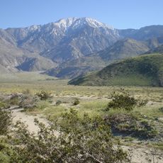
The area is accessible via State Route 79 and features simple roads requiring careful driving through open terrain. Multiple hiking trails of varying difficulty run through the community, and nearby lodging options range from cabins to inns for different visitor needs.

The area is a favored spot for glider pilots and soaring enthusiasts who take advantage of natural thermal conditions created by the terrain. This unexpected aviation activity reveals how the geography shapes how people use the place in surprising ways.

The community of curious travelers

AroundUs brings together thousands of curated places, local tips, and hidden gems, enriched daily by 60,000 contributors worldwide.

Start exploring
Location
Elevation above the sea
954 m
GPS coordinates
33.30639,-116.62389
Latest update
February 19, 2026 22:40
Around this place
San Diego Wild Animal Park
United States of America

San Diego Wild Animal Park

42 km
Anza-Borrego Desert State Park
United States of America

Anza-Borrego Desert State Park

21.6 km
Palomar Mountain Observatory
United States of America

Palomar Mountain Observatory

23.1 km
Palomar Mountain
United States of America

Palomar Mountain

20.7 km
Potato Chip Rock
United States of America

Potato Chip Rock

46.5 km
Hale Telescope
United States of America

Hale Telescope

23.1 km
Lake Hemet
United States of America

Lake Hemet

40.6 km
Cuyamaca Rancho State Park
United States of America

Cuyamaca Rancho State Park

41 km
Santa Rosa and San Jacinto Mountains National Monument
United States of America

Santa Rosa and San Jacinto Mountains National Monument

42.6 km
Tahquitz Canyon
United States of America

Tahquitz Canyon

36.5 km
Cuyamaca Peak
United States of America

Cuyamaca Peak

40.1 km
Deer Park Monastery
United States of America

Deer Park Monastery

43.9 km
Warner's Ranch
United States of America

Warner's Ranch

8 km
Otay Mountain Wilderness
United States of America

Otay Mountain Wilderness

38.1 km
Galleta Meadows Estate
United States of America

Galleta Meadows Estate

23.2 km
Agua Tibia Wilderness
United States of America

Agua Tibia Wilderness

37.9 km
Samuel Oschin telescope
United States of America

Samuel Oschin telescope

22.7 km
Santa Ysabel Asistencia
United States of America

Santa Ysabel Asistencia

20.2 km
Santa Rosa Wilderness
United States of America

Santa Rosa Wilderness

38.1 km
Toro Peak
United States of America

Toro Peak

30.4 km
Oak Grove Butterfield Stage Station
United States of America

Oak Grove Butterfield Stage Station

18.3 km
Classic Rotors Museum
United States of America

Classic Rotors Museum

40.3 km
Palomar Testbed Interferometer
United States of America

Palomar Testbed Interferometer

23 km
Yokoji Zen Mountain Center
United States of America

Yokoji Zen Mountain Center

41.5 km
A.H. Beach House
United States of America

A.H. Beach House

46.9 km
Martinez Canyon Rockhouse
United States of America

Martinez Canyon Rockhouse

35.4 km
San Vicente Golf Club
United States of America

San Vicente Golf Club

38.1 km
Santa Rosa & San Jacinto Mountains National Monument Visitor Center
United States of America

Santa Rosa & San Jacinto Mountains National Monument Visitor Center

45.3 km
Show the full map
Reviews
Share your experience

No review yet

Discussions
Start a discussion...

No discussion yet

« Warner Springs - unincorporated community in California » is provided by Around Us (aroundus.com). Images and texts are derived from Wikimedia project under a Creative Commons license. You are allowed to copy, distribute, and modify copies of this page, under the conditions set by the license, as long as this note is clearly visible.

Discover hidden gems everywhere you go!

From secret cafés to breathtaking viewpoints, skip the crowded tourist spots and find places that match your style. Our app makes it easy with voice search, smart filtering, route optimization, and insider tips from travelers worldwide. Download now for the complete mobile experience.

Around Us App Screenshot

A unique approach to discovering new places

Le Figaro

All the places worth exploring

France Info

A tailor-made excursion in just a few clicks

20 Minutes

Around Us
Travel Guide & Maps
Download

Send to your phone

QR Code
1

Open the camera app on your mobile.

2

Point at the QR code with your camera. A notification will appear.

3

Tap the notification to open the link.