Chest opened
+${chestReward.xp} XP
Explorer
NOUVEAU ×${chestReward.collectible.quantity}
tapez pour fermer
Chest locked

Open chests in the app

Around Us is built for your phone — chests unlock when you walk, explore and capture nearby places.

Enable Location

We need your location to show you interesting places around you

Discover nearby places

Find interesting locations and hidden gems around you

Precise directions

Get accurate directions and distances to places

Your location is never shared with other users. It's only used when you tap the location button.

Salton Sea Beach

Log in to your account

Start exploring — it's free

Trusted by 72,973 travelers worldwide

Continue with Google
Continue with Apple
or

We will send you a code to connect

By continuing, you accept our Terms and Conditions and our Privacy Policy

Check your inbox

We've sent a pincode in your inbox. Please enter the code below.

Discussion Reviews 1 Photos
18.3k Popularity

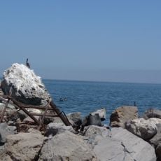
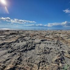
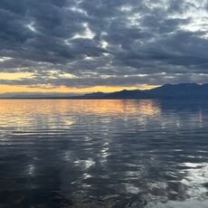
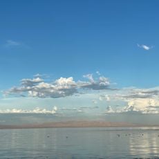
Salton Sea Beach, Census-designated place in Imperial County, California.

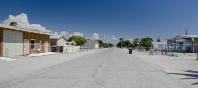
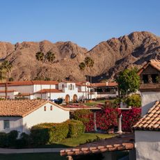
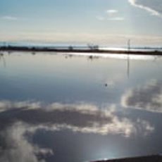
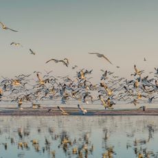
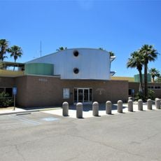
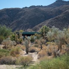
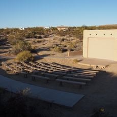
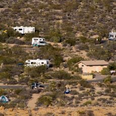
Salton Sea Beach is a residential community along the western shore of the Salton Sea, stretching between Desert Shores to the north and Salton City to the south. The area consists of homes and small developments scattered along the shoreline, with the Naval Auxiliary Air Station Salton Sea located about 2.5 miles southeast near California State Route 86.

The settlement developed in the decades following the creation of the Salton Sea, as new residential areas emerged around the lake. The community grew gradually as part of regional expansion and remains a small residential hub.

The community reflects California's diversity with a population comprising 73 percent White residents and 54 percent Hispanic or Latino residents according to census data.

The area is accessible via California State Route 86, which serves as the main road through the region. Getting around is straightforward since the road runs directly along the shoreline.

The Coachella Valley Water District supplies water services to this settlement, where one-third of residents live below the poverty line according to census records.

The community of curious travelers

AroundUs brings together thousands of curated places, local tips, and hidden gems, enriched daily by 60,000 contributors worldwide.

Start exploring
Location
GPS coordinates
33.37500,-116.01194
Latest update
December 7, 2025 19:22
Around this place
Salvation Mountain
United States of America

Salvation Mountain

51.9 km
Anza-Borrego Desert State Park
United States of America

Anza-Borrego Desert State Park

38.2 km
United States of America

Humana Challenge

37.5 km
Living Desert Zoo and Gardens
United States of America

Living Desert Zoo and Gardens

47.7 km
Salton Buttes
United States of America

Salton Buttes

41.3 km
Niland Geyser
United States of America

Niland Geyser

41.7 km
Tahquitz Canyon
United States of America

Tahquitz Canyon

30.9 km
General George S. Patton Memorial Museum
United States of America

General George S. Patton Memorial Museum

41.7 km
La Quinta Resort and Club
United States of America

La Quinta Resort and Club

44.3 km
Sonny Bono Salton Sea National Wildlife Refuge
United States of America

Sonny Bono Salton Sea National Wildlife Refuge

36.1 km
Galleta Meadows Estate
United States of America

Galleta Meadows Estate

35.2 km
Salton Sea State Recreation Area
United States of America

Salton Sea State Recreation Area

15.9 km
North Shore Beach and Yacht Club
United States of America

North Shore Beach and Yacht Club

17.3 km
Mud Caves
United States of America

Mud Caves

52.8 km
Shields Date Gardens
United States of America

Shields Date Gardens

43.9 km
Santa Rosa Wilderness
United States of America

Santa Rosa Wilderness

32.5 km
Fish Creek Mountains Wilderness
United States of America

Fish Creek Mountains Wilderness

44.6 km
Toro Peak
United States of America

Toro Peak

41.8 km
Martinez Canyon Rockhouse
United States of America

Martinez Canyon Rockhouse

32.6 km
Jack Nicklaus Resort Golf Course
United States of America

Jack Nicklaus Resort Golf Course

37.5 km
Cottonwood Visitor Center
United States of America

Cottonwood Visitor Center

45.1 km
Santa Rosa & San Jacinto Mountains National Monument Visitor Center
United States of America

Santa Rosa & San Jacinto Mountains National Monument Visitor Center

49.5 km
Betz Beach
United States of America

Betz Beach

16.3 km
Sneaker Beach
United States of America

Sneaker Beach

17.1 km
Salton Beach
United States of America

Salton Beach

15.9 km
Cottonwood Campground Amphitheater
United States of America

Cottonwood Campground Amphitheater

45 km
Cottonwood Campground
United States of America

Cottonwood Campground

44.8 km
Sea View Beach
United States of America

Sea View Beach

24.2 km
Show the full map
Reviews
Share your experience

No review yet

Discussions
Start a discussion...

No discussion yet

« Salton Sea Beach - Census-designated place in Imperial County, California » is provided by Around Us (aroundus.com). Images and texts are derived from Wikimedia project under a Creative Commons license. You are allowed to copy, distribute, and modify copies of this page, under the conditions set by the license, as long as this note is clearly visible.

Discover hidden gems everywhere you go!

From secret cafés to breathtaking viewpoints, skip the crowded tourist spots and find places that match your style. Our app makes it easy with voice search, smart filtering, route optimization, and insider tips from travelers worldwide. Download now for the complete mobile experience.

Around Us App Screenshot

A unique approach to discovering new places

Le Figaro

All the places worth exploring

France Info

A tailor-made excursion in just a few clicks

20 Minutes

Around Us
Travel Guide & Maps
Download

Send to your phone

QR Code
1

Open the camera app on your mobile.

2

Point at the QR code with your camera. A notification will appear.

3

Tap the notification to open the link.