Chest opened
+${chestReward.xp} XP
Explorer
NOUVEAU ×${chestReward.collectible.quantity}
tapez pour fermer
Chest locked

Open chests in the app

Around Us is built for your phone — chests unlock when you walk, explore and capture nearby places.

Enable Location

We need your location to show you interesting places around you

Discover nearby places

Find interesting locations and hidden gems around you

Precise directions

Get accurate directions and distances to places

Your location is never shared with other users. It's only used when you tap the location button.

Landers

Log in to your account

Start exploring — it's free

Trusted by 72,892 travelers worldwide

Continue with Google
Continue with Apple
or

We will send you a code to connect

By continuing, you accept our Terms and Conditions and our Privacy Policy

Check your inbox

We've sent a pincode in your inbox. Please enter the code below.

Discussion Reviews 1 Photos
27.8k Popularity

Landers, Desert community in San Bernardino County, United States.

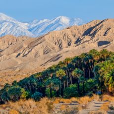
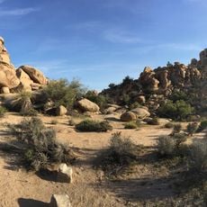
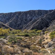
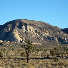
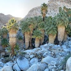
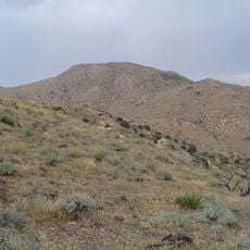
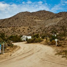
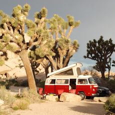
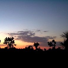
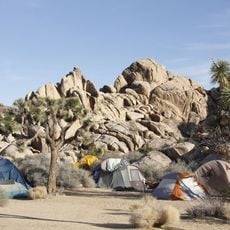
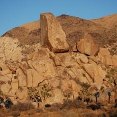
Landers is a community in the southeastern Mojave Desert at about 3,100 feet in elevation, surrounded by Joshua trees and granite rock formations. The area spreads across open desert with scattered buildings nestled among boulders and vegetation.

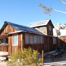
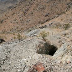
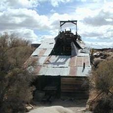
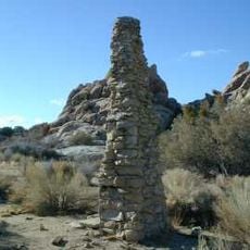
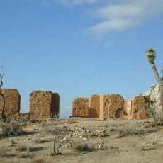
The settlement began in 1914 when Charles Reche established himself there, laying the groundwork for this community. Prospectors looking for gold soon followed, drawn by the possibility of fortune in the desert landscape.

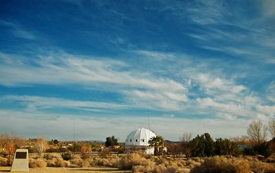
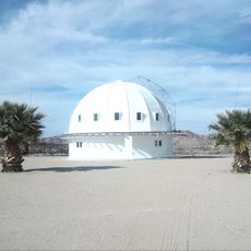
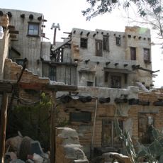
The Integratron stands as a distinctive dome where visitors come for sound healing sessions that take advantage of the building's unusual design. It reflects the area's draw for people interested in alternative wellness practices.

California State Route 247 connects this location to Yucca Valley, providing access to essential services, shopping, and medical facilities nearby. Since the community is small, visitors should plan ahead to ensure they have what they need.

The Goat Mountain Astronomical Research Station operates from this desert location to conduct observations of asteroids and other celestial bodies. This facility attracts scientists interested in studying space objects and gathering data about the cosmos.

The community of curious travelers

AroundUs brings together thousands of curated places, local tips, and hidden gems, enriched daily by 60,000 contributors worldwide.

Start exploring
GPS coordinates
34.26611,-116.39307
Latest update
December 20, 2025 13:17
Around this place
Integratron
United States of America

Integratron

3.3 km
Rancho De La Luna
United States of America

Rancho De La Luna

15.4 km
Sand to Snow National Monument
United States of America

Sand to Snow National Monument

36.8 km
San Gorgonio Wilderness
United States of America

San Gorgonio Wilderness

36.7 km
Cabot's Pueblo Museum
United States of America

Cabot's Pueblo Museum

35.2 km
Hidden Valley
United States of America

Hidden Valley

34.8 km
Keys Desert Queen Ranch
United States of America

Keys Desert Queen Ranch

32 km
Big Morongo Canyon Preserve
United States of America

Big Morongo Canyon Preserve

33.2 km
Desert Queen Mine
United States of America

Desert Queen Mine

40 km
Ryan Mountain
United States of America

Ryan Mountain

39.2 km
Wall Street Mill
United States of America

Wall Street Mill

35 km
Fortynine Palms Oasis
United States of America

Fortynine Palms Oasis

32 km
Quail Mountain
United States of America

Quail Mountain

32 km
Desert Christ Park
United States of America

Desert Christ Park

15.8 km
Cow Camp
United States of America

Cow Camp

32.9 km
United States of America

Eureka Peak

26.3 km
Ryan House and Lost Horse Well
United States of America

Ryan House and Lost Horse Well

38.6 km
World Famous Crochet Museum
United States of America

World Famous Crochet Museum

16.4 km
Hi-Desert Nature Museum
United States of America

Hi-Desert Nature Museum

16 km
Joshua Tree National Park Visitor Center
United States of America

Joshua Tree National Park Visitor Center

34.2 km
Joshua Tree Visitor Center
United States of America

Joshua Tree Visitor Center

16.4 km
Black Rock Nature Center
United States of America

Black Rock Nature Center

21.5 km
Beauty Bubble Salon and Museum
United States of America

Beauty Bubble Salon and Museum

16.3 km
Hidden Valley Campground
United States of America

Hidden Valley Campground

35 km
Black Rock Campground
United States of America

Black Rock Campground

21.5 km
Sheep Pass Campground
United States of America

Sheep Pass Campground

38.9 km
Ryan Campground
United States of America

Ryan Campground

38.4 km
Indian Cove Campground Amphitheater
United States of America

Indian Cove Campground Amphitheater

28.8 km
Show the full map
Reviews
Share your experience

No review yet

Discussions
Start a discussion...

No discussion yet

« Landers - Desert community in San Bernardino County, United States » is provided by Around Us (aroundus.com). Images and texts are derived from Wikimedia project under a Creative Commons license. You are allowed to copy, distribute, and modify copies of this page, under the conditions set by the license, as long as this note is clearly visible.

Discover hidden gems everywhere you go!

From secret cafés to breathtaking viewpoints, skip the crowded tourist spots and find places that match your style. Our app makes it easy with voice search, smart filtering, route optimization, and insider tips from travelers worldwide. Download now for the complete mobile experience.

Around Us App Screenshot

A unique approach to discovering new places

Le Figaro

All the places worth exploring

France Info

A tailor-made excursion in just a few clicks

20 Minutes

Around Us
Travel Guide & Maps
Download

Send to your phone

QR Code
1

Open the camera app on your mobile.

2

Point at the QR code with your camera. A notification will appear.

3

Tap the notification to open the link.