Mexicali Municipality, Administrative division in Baja California, Mexico
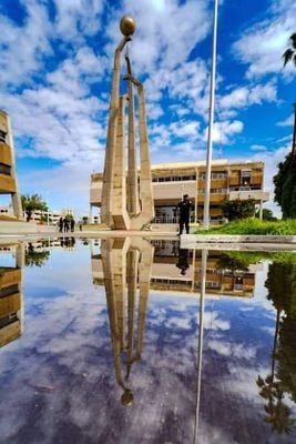
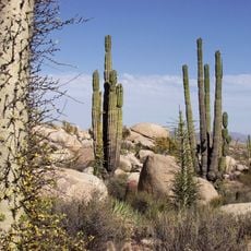
Municipio de Mexicali is an administrative region in northeastern Baja California that spans a large area and borders the United States and the Gulf of California. The territory includes several cities and is shaped by its semi-arid climate, agricultural lands, and cross-border connections.
The territory was established as the second municipality of the Northern Baja California District in 1914 under the leadership of Baltasar Aviles. This founding marked the beginning of organized administration for the region.
Chinese immigrants who arrived in the early 20th century left a lasting mark on local food and daily traditions. Walking through the cities today, you can see this blend of Mexican and Chinese influences in restaurants, shops, and the way people live together.
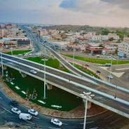
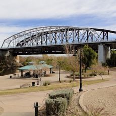
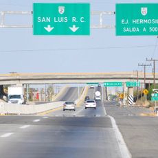
The territory is connected to the United States through several border crossings that enable daily traffic and commerce. The international airport in the main city offers flights to regional and national destinations.
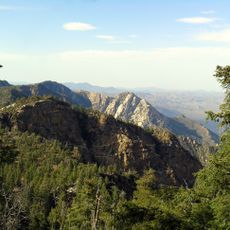
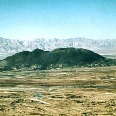
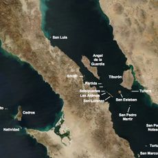
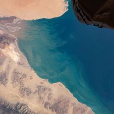
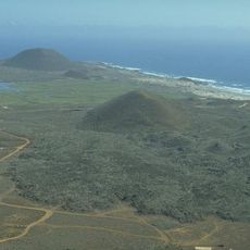
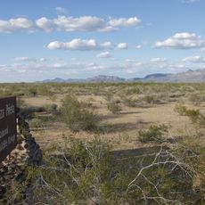
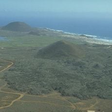
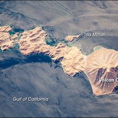
The territory is home to Monument 206, which marks Mexico's northernmost point and represents an important geographic boundary. Additionally, there are several islands in the Gulf of California that are part of the municipality and harbor distinctive marine ecosystems.
The community of curious travelers
AroundUs brings together thousands of curated places, local tips, and hidden gems, enriched daily by 60,000 contributors worldwide.