Enable Location

We need your location to show you interesting places around you

Discover nearby places

Find interesting locations and hidden gems around you

Precise directions

Get accurate directions and distances to places

Your location is never shared with other users. It's only used when you tap the location button.

Yuma County

Log in to your account

Start exploring — it's free

Trusted by 62,561 travelers worldwide

Continue with Google
Continue with Apple
or

We will send you a code to connect

By continuing, you accept our Terms and Conditions and our Privacy Policy

Check your inbox

We've sent a pincode in your inbox. Please enter the code below.

Yuma County, Administrative division in southwestern Arizona, United States.

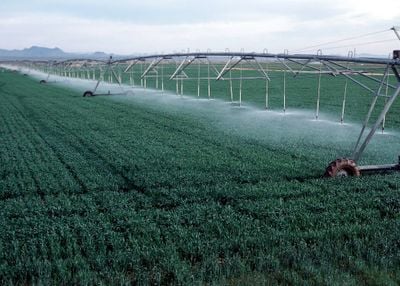
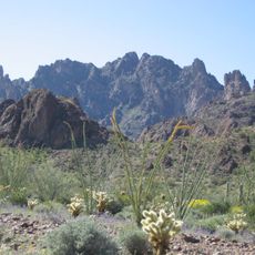
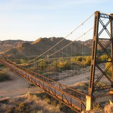
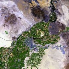
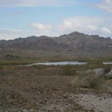
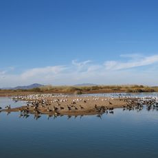
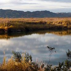
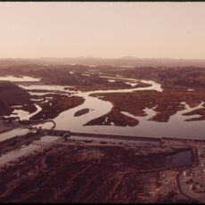
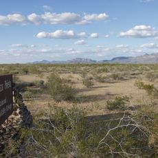
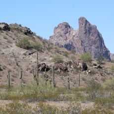
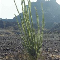
Yuma County is an administrative division in southwestern Arizona that spans desert terrain crossed by the Colorado River. The landscape mixes arid zones with cultivated farmland that relies on irrigation water from the river.

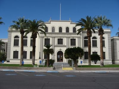
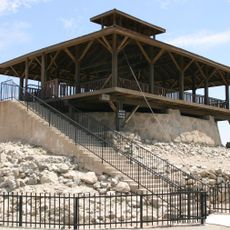
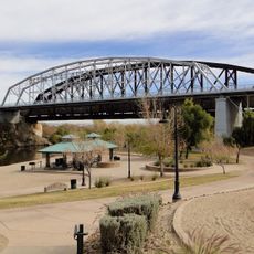
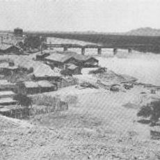
The county was established in 1864 and became a key transit point during western expansion across the United States. The Colorado River crossing served as a strategic point for settlers and trade routes moving between regions.

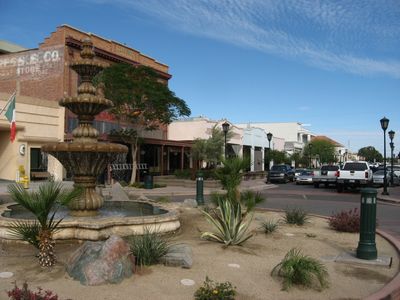
The county reflects the traditions of Native American, Mexican, and Anglo-American communities that continue to shape local events and daily life. Visitors can observe these cultural influences in the neighborhoods, local markets, and seasonal celebrations throughout the year.

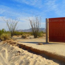
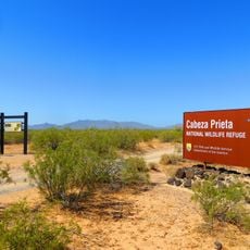
The area experiences hot and dry conditions, especially from May through September, so visitors should bring plenty of water and sun protection. Most destinations are accessible by car, and main towns offer basic services for travelers passing through.

The county ranks among the top regions in the United States for producing winter vegetables through specialized irrigation systems developed over decades. The harvest from its fields reaches markets across the country during colder months.

The community of curious travelers

AroundUs brings together thousands of curated places, local tips, and hidden gems, enriched daily by 60,000 contributors worldwide.

Start exploring
Location
Inception
November 9, 1864
Capital city
Yuma
Shares border with
La Paz County, Maricopa County, Mexicali Municipality, San Luis Río Colorado, General Plutarco Elías Calles, Imperial County, Pima County
GPS coordinates
32.78694,-113.98278
Latest update
December 17, 2025 09:32
Around this place
Yuma Territorial Prison
United States of America

Yuma Territorial Prison

59.5 km
Kofa National Wildlife Refuge
United States of America

Kofa National Wildlife Refuge

51.2 km
El Camino Del Diablo
United States of America

El Camino Del Diablo

97.3 km
Cabeza Prieta National Wildlife Refuge
United States of America

Cabeza Prieta National Wildlife Refuge

79.9 km
Desert Sun Stadium
United States of America

Desert Sun Stadium

62.7 km
Ocean To Ocean Bridge
United States of America

Ocean To Ocean Bridge

59.6 km
McPhaul Suspension Bridge
United States of America

McPhaul Suspension Bridge

41.2 km
Yuma Crossing
United States of America

Yuma Crossing

59.6 km
Pilot Knob
United States of America

Pilot Knob

72.1 km
Picacho State Recreation Area
United States of America

Picacho State Recreation Area

64.3 km
Cibola National Wildlife Refuge
United States of America

Cibola National Wildlife Refuge

88.1 km
Yuma Quartermaster Depot State Historic Park
United States of America

Yuma Quartermaster Depot State Historic Park

60.7 km
Imperial National Wildlife Refuge
United States of America

Imperial National Wildlife Refuge

74.2 km
Little Picacho Wilderness
United States of America

Little Picacho Wilderness

57.4 km
Imperial Reservoir
United States of America

Imperial Reservoir

46.6 km
United States of America

Indian Pass Wilderness

80.9 km
Cabeza Prieta Wilderness
United States of America

Cabeza Prieta Wilderness

78.3 km
Mission Puerto de Purísima Concepción
United States of America

Mission Puerto de Purísima Concepción

59.6 km
United States of America

Picacho Peak Wilderness

74.7 km
Eagletail Mountains Wilderness
United States of America

Eagletail Mountains Wilderness

91.4 km
Brown House
United States of America

Brown House

60.1 km
United States of America

Black Dome

43.1 km
United States of America

Antelope Hill Highway Bridge

8.1 km
Z Fun Factory and Waylon's Water World
United States of America

Z Fun Factory and Waylon's Water World

54.9 km
Muggins Mountain Wilderness
United States of America

Muggins Mountain Wilderness

25.6 km
United States of America

Redondo Reservoir

64.3 km
St. Paul's Episcopal Church
United States of America

St. Paul's Episcopal Church

60.3 km
United States Post Office–Yuma Main
United States of America

United States Post Office–Yuma Main

59.8 km
Show the full map
Administrative divisions
« Yuma County - Administrative division in southwestern Arizona, United States » is provided by Around Us (aroundus.com). Images and texts are derived from Wikimedia project under a Creative Commons license. You are allowed to copy, distribute, and modify copies of this page, under the conditions set by the license, as long as this note is clearly visible.

Discover hidden gems everywhere you go!

From secret cafés to breathtaking viewpoints, skip the crowded tourist spots and find places that match your style. Our app makes it easy with voice search, smart filtering, route optimization, and insider tips from travelers worldwide. Download now for the complete mobile experience.

Around Us App Screenshot

A unique approach to discovering new places

Le Figaro

All the places worth exploring

France Info

A tailor-made excursion in just a few clicks

20 Minutes

Around Us
Travel Guide & Maps
Download

Send to your phone

QR Code
1

Open the camera app on your mobile.

2

Point at the QR code with your camera. A notification will appear.

3

Tap the notification to open the link.