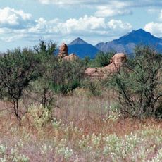
Patagonia Mountains, Mountain range in Santa Cruz County, Arizona and Sonora, Mexico
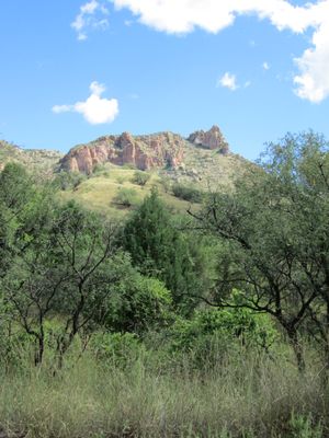
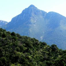
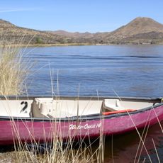
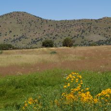
The Patagonia Mountains form a ridge that stretches from the Mexican border near Nogales through Santa Cruz County, with Mount Washington rising to 7,221 feet (2.2 kilometers) as the highest point. The range sits between Sonoita Creek on one side and connects different elevation zones with varying vegetation patterns.
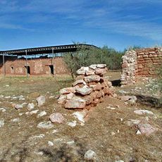
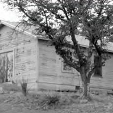
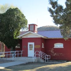
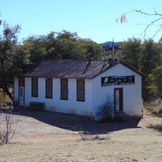
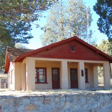
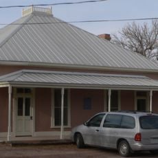
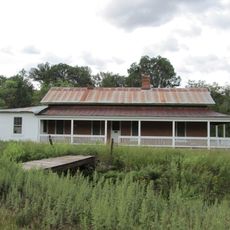
Mining operations began in the 1800s, leading to the establishment of camps and settlements such as Washington Camp, Harshaw, Duquesne, and Mowry. These communities grew and declined as resource extraction activity fluctuated over the decades.
These mountains connect the natural environments of the United States and Mexico, hosting wildlife and plants that thrive in the borderland region. The range represents a meeting point where northern and southern species coexist in shared habitats.
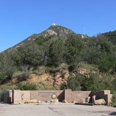
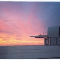
Arizona State Route 82 runs through the foothills and provides the main access corridor for exploring the area. Since the mountains sit near the international border, check local conditions before planning backcountry hiking or remote exploration.
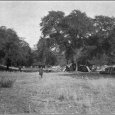
The range harbors an unusually large collection of ponderosa and Chihuahua pines in a restricted area above Soldier Basin to the east. This forest combination appears at higher elevations than typical for the surrounding desert regions, creating a distinctive woodland pocket.
The community of curious travelers
AroundUs brings together thousands of curated places, local tips, and hidden gems, enriched daily by 60,000 contributors worldwide.