Chest opened
+${chestReward.xp} XP
Explorer
NOUVEAU ×${chestReward.collectible.quantity}
tapez pour fermer
Chest locked

Open chests in the app

Around Us is built for your phone — chests unlock when you walk, explore and capture nearby places.

Enable Location

We need your location to show you interesting places around you

Discover nearby places

Find interesting locations and hidden gems around you

Precise directions

Get accurate directions and distances to places

Your location is never shared with other users. It's only used when you tap the location button.

Agua Prieta

Log in to your account

Start exploring — it's free

Trusted by 72,879 travelers worldwide

Continue with Google
Continue with Apple
or

We will send you a code to connect

By continuing, you accept our Terms and Conditions and our Privacy Policy

Check your inbox

We've sent a pincode in your inbox. Please enter the code below.

Agua Prieta
Discussion Reviews 1 Photos
34.6k Popularity

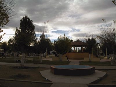
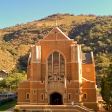
Agua Prieta, Border municipality in Sonora, Mexico

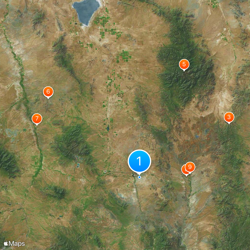
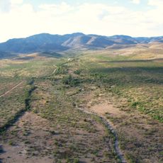
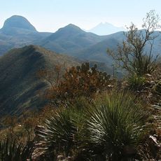
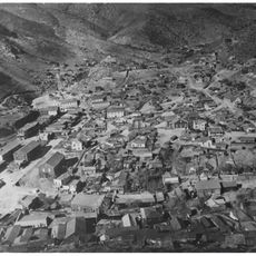
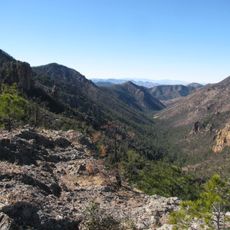
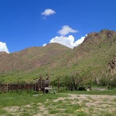
Agua Prieta is a border city in northeastern Sonora situated on semi-arid terrain at approximately 1,219 meters in elevation. The municipality spans a large area and functions as a major trading hub between Mexico and the United States.

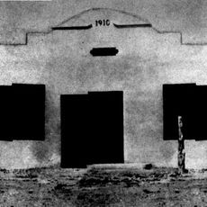
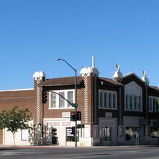
The city originated in 1899 due to railroad construction by Phelps Dodge Corporation, which enabled copper transport from Nacozari mines to the United States. This connection shaped its development as a trade hub.

The baseball team Toros de Agua Prieta draws local support through regional competition, while the musical group Los Apson emerged from here and influenced Mexican popular music during the 1960s.

Visitors should prepare for hot and dry weather, especially during the warmer months of the year. Good footwear and sun protection are important for exploring the city comfortably.

The city is home to the Agua Prieta II power station, which generates electricity through an integrated solar and gas combined cycle system. This energy facility supplies power to northwestern Mexico.

The community of curious travelers

AroundUs brings together thousands of curated places, local tips, and hidden gems, enriched daily by 60,000 contributors worldwide.

Start exploring
Location
Inception
1899
Part of
Mexico–United States border
GPS coordinates
31.32778,-109.54639
Latest update
December 19, 2025 22:38
Around this place
Bird Cage Theatre
United States of America

Bird Cage Theatre

65.2 km
Skeleton Canyon
United States of America

Skeleton Canyon

56.6 km
Gadsden Hotel
United States of America

Gadsden Hotel

2.1 km
Chiricahua Peak
United States of America

Chiricahua Peak

62.5 km
Schieffelin Hall
United States of America

Schieffelin Hall

65.4 km
San Pedro Riparian National Conservation Area
United States of America

San Pedro Riparian National Conservation Area

62.4 km
San Bernardino Ranch
United States of America

San Bernardino Ranch

25.4 km
San Bernardino National Wildlife Refuge
United States of America

San Bernardino National Wildlife Refuge

27.3 km
Tombstone Historic District
United States of America

Tombstone Historic District

65.3 km
Leslie Canyon National Wildlife Refuge
United States of America

Leslie Canyon National Wildlife Refuge

29.2 km
Gleeson Jail
United States of America

Gleeson Jail

52.4 km
Mexico

Canyon de Guadalupe

50.7 km
Bisbee Historic District
United States of America

Bisbee Historic District

37.2 km
Rucker Canyon
United States of America

Rucker Canyon

48.6 km
Grand Theatre
United States of America

Grand Theatre

2.3 km
Phelps Dodge General Office Building
United States of America

Phelps Dodge General Office Building

37.2 km
St. Patrick's Roman Catholic Church
United States of America

St. Patrick's Roman Catholic Church

38 km
Double Adobe Site
United States of America

Double Adobe Site

2.8 km
Plaza Azueta
Mexico

Plaza Azueta

1.4 km
Douglas Historic District
United States of America

Douglas Historic District

2.1 km
El Paso and Southwestern Railroad YMCA
United States of America

El Paso and Southwestern Railroad YMCA

2.1 km
Bisbee Residential Historic District
United States of America

Bisbee Residential Historic District

38.1 km
Bisbee Woman's Club Clubhouse
United States of America

Bisbee Woman's Club Clubhouse

37.3 km
United States Post Office and Customs House–Douglas Main
United States of America

United States Post Office and Customs House–Douglas Main

2 km
Kinjockity Ranch
United States of America

Kinjockity Ranch

64.5 km
Douglas Residential Historic District
United States of America

Douglas Residential Historic District

1.9 km
Monte Vista Lookout Cabin
United States of America

Monte Vista Lookout Cabin

59.5 km
Horseshoe Canyon
United States of America

Horseshoe Canyon

64.1 km
Show the full map
Reviews
Share your experience

No review yet

Discussions
Start a discussion...

No discussion yet

« Agua Prieta - Border municipality in Sonora, Mexico » is provided by Around Us (aroundus.com). Images and texts are derived from Wikimedia project under a Creative Commons license. You are allowed to copy, distribute, and modify copies of this page, under the conditions set by the license, as long as this note is clearly visible.

Discover hidden gems everywhere you go!

From secret cafés to breathtaking viewpoints, skip the crowded tourist spots and find places that match your style. Our app makes it easy with voice search, smart filtering, route optimization, and insider tips from travelers worldwide. Download now for the complete mobile experience.

Around Us App Screenshot

A unique approach to discovering new places

Le Figaro

All the places worth exploring

France Info

A tailor-made excursion in just a few clicks

20 Minutes

Around Us
Travel Guide & Maps
Download

Send to your phone

QR Code
1

Open the camera app on your mobile.

2

Point at the QR code with your camera. A notification will appear.

3

Tap the notification to open the link.