
San Pablo Jocopilas, municipality of Suchitepéquez Department, Guatemala
Location: Suchitepéquez Department
Elevation above the sea: 597 m
Shares border with: Samayac, San Antonio Suchitepéquez, Santo Tomás La Unión, Santa Catarina Ixtahuacan
GPS coordinates: 14.58333,-91.45000
Latest update: April 3, 2025 22:24
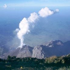
Santa María
22.2 km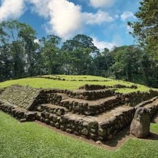
Takalik Abaj
31.6 km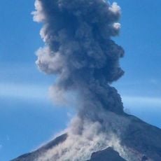
Santiaguito
21.8 km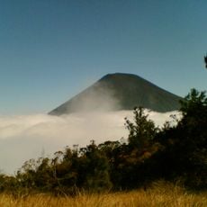
Volcán Atitlán
28.3 km
Almolonga
25 km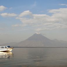
Volcán San Pedro
21.6 km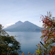
Volcán Tolimán
28.7 km
Xetulul
17.5 km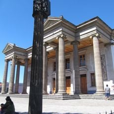
Quetzaltenango Municipal Theatre
29.3 km
Chicabal
31.8 km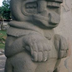
El Baúl
51.7 km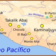
Chocolá
4.5 km
Estadio Mario Camposeco
29.7 km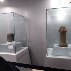
Iximche
51.6 km
Holy Spirit Cathedral, Quetzaltenango
28.9 km
Quetzaltenango Guatemala Temple
30.7 km
Chapel of the Conqueress of the Immaculate Conception
33.2 km
Minerva
30.5 km
Santa María Hydroelectric Dam
24.5 km
Avalancha
17.6 km
Pintado Santa Catarina Palopo
37.3 km
Takalik Abaj
31 km
Xela Center
30.6 km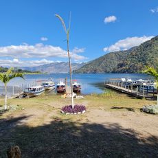
Playa Pública La Libertad
33.8 km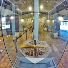
Museo Iximche
51.8 km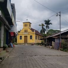
Chocolá, Suchitepéquez, Iglesia Católica
5 km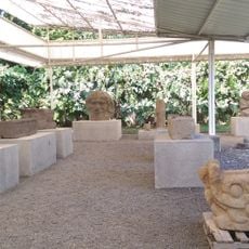
Museo el Baul
51.7 km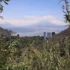
Mariposario Reserva De Atitlan
35.9 kmReviews
Visited this place? Tap the stars to rate it and share your experience / photos with the community! Try now! You can cancel it anytime.
Discover hidden gems everywhere you go!
From secret cafés to breathtaking viewpoints, skip the crowded tourist spots and find places that match your style. Our app makes it easy with voice search, smart filtering, route optimization, and insider tips from travelers worldwide. Download now for the complete mobile experience.

A unique approach to discovering new places❞
— Le Figaro
All the places worth exploring❞
— France Info
A tailor-made excursion in just a few clicks❞
— 20 Minutes