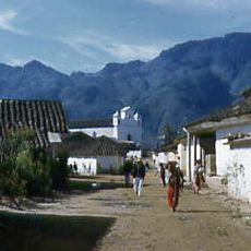
Huehuetenango, Administrative center in western Guatemalan highlands.
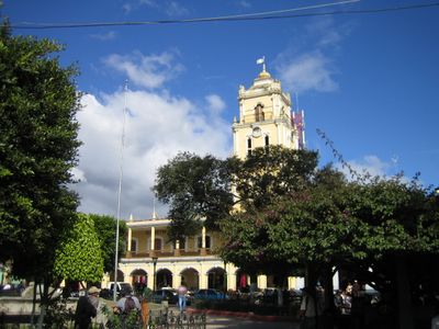
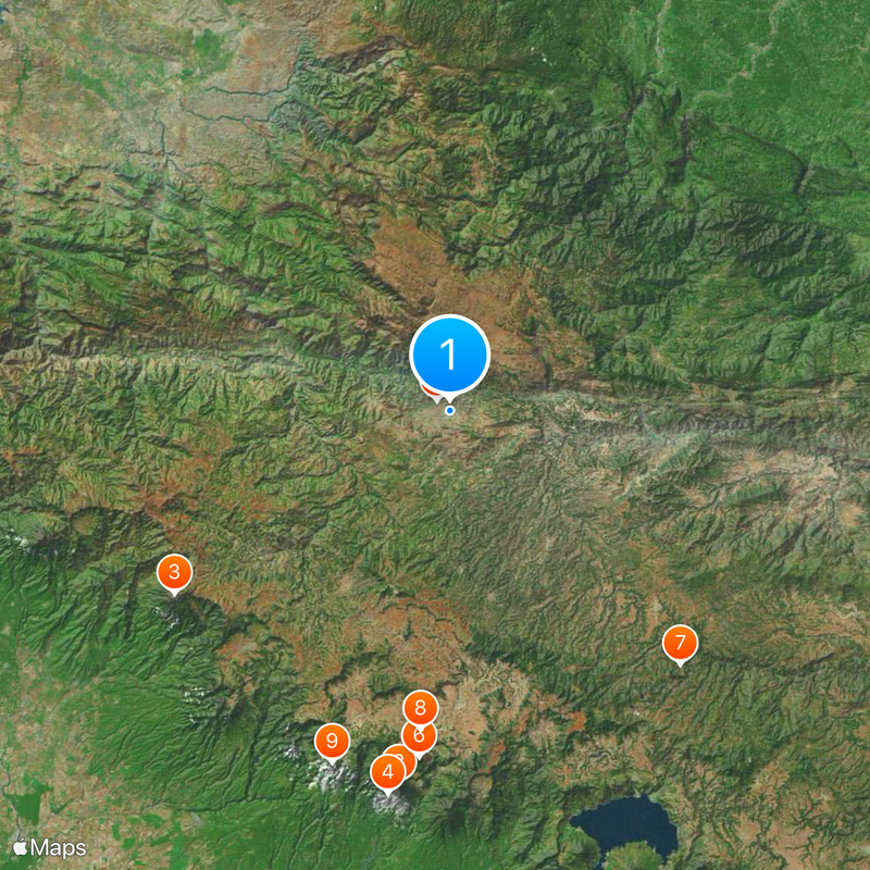
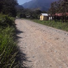
Huehuetenango is an administrative center in western Guatemalan highlands, situated at about 2,270 meters (7,450 feet) elevation. The city and surrounding territory are characterized by mountain ranges and valleys that form a varied landscape.
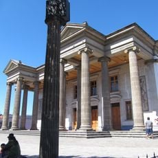
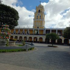
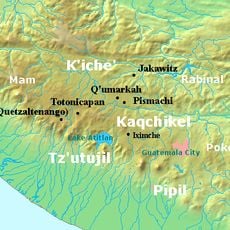
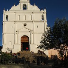
Spanish conquistadors established this settlement in the 16th century on the site of a former Mam Maya capital known as Xinabajul. Colonial-era influences shaped the city layout and architecture that remain visible today.
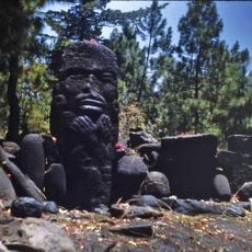
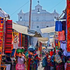
Local markets display the diversity of several Maya groups such as Mam, Q'anjob'al, and Chuj communities who maintain their languages and traditions. Walking through the streets, you hear these different languages spoken and see cultural differences reflected in clothing and daily practices.
The climate remains mild year-round, with rainfall concentrated between May and September. The best time to visit is October through April, when weather is dry and comfortable.
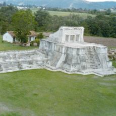
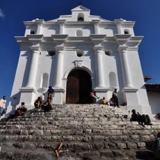
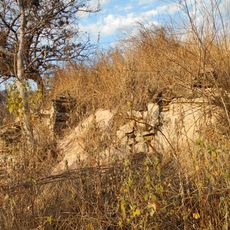
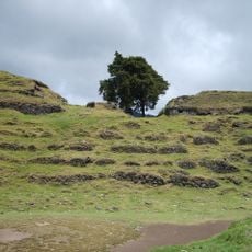
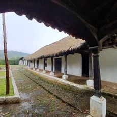
The restored archaeological site of Zaculeu nearby displays Maya structures covered in white plaster instead of exposed stone typical elsewhere. This distinctive approach makes the site an unusual example of Maya craftsmanship and building techniques.
The community of curious travelers
AroundUs brings together thousands of curated places, local tips, and hidden gems, enriched daily by 60,000 contributors worldwide.