Dulce River, River and national park in Izabal Department, Guatemala
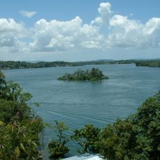
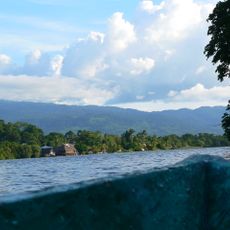
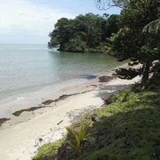
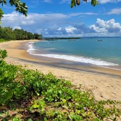
The Dulce River runs about 43 km from Lake Izabal to the Caribbean Sea at Livingston, entirely within Izabal Department. Below the bridge at Fronteras it crosses El Golfete, a narrow lake about 16 km long, then enters a 16 km limestone gorge with walls up to 150 m high. The river is 200 m wide there and 30–50 m deep.
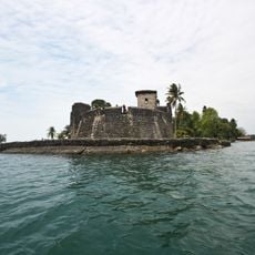
In the 1600s, Spanish colonial authorities built the Castillo de San Felipe fortress to protect the waterway from Caribbean pirates who attacked passing ships. This fort became a key defensive position that controlled access to the river trade route.
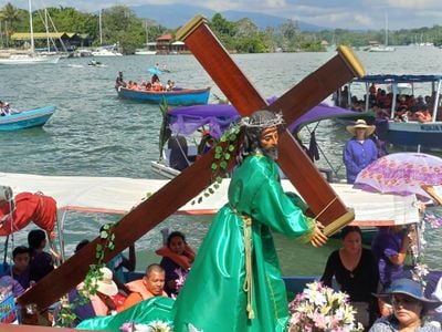
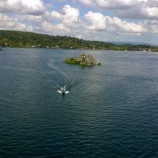
The river takes its name from its fresh water, in contrast to the salt water of the Caribbean it meets at Livingston, a Garifuna town. At Fronteras, also called Río Dulce, a vegetable market draws farmers from the countryside who arrive by dugout canoe, many paddling by hand and others using Japanese outboard motors.
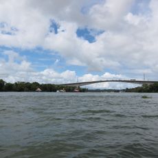
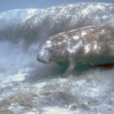
Access to the Chocón Machacas biotope is by water only, with lanchas leaving from the village of Río Dulce, Livingston or Puerto Barrios. The 16 km gorge between El Golfete and the sea is navigated by boat, and the trip is often combined with a visit to the Castillo de San Felipe de Lara. The river is spanned at its entrance by Guatemala's longest bridge, 830 m long and 45 m high, built between 1977 and 1980.
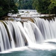
After heavy rainfall, waterfalls form along the limestone cliffs and cascade down from heights of around 300 feet, creating natural water curtains across the gorge. These temporary features appear only during and after rainy periods, transforming the appearance of the canyon.
The community of curious travelers
AroundUs brings together thousands of curated places, local tips, and hidden gems, enriched daily by 92,652 contributors worldwide.