
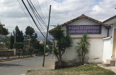
San José de Ayora, rural parish in Ecuador
Location: Cayambe Canton
Shares border with: Imbabura Province, Pedro Moncayo Canton
GPS coordinates: 0.07036,-78.13470
Latest update: March 7, 2025 04:10
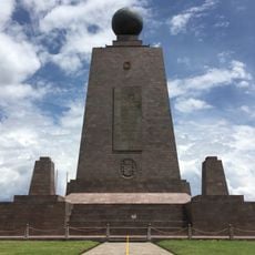
Ciudad Mitad del Mundo
36.7 km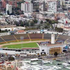
Estadio Olímpico Atahualpa
47 km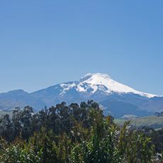
Cayambe
17 km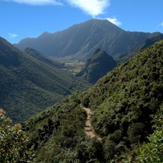
Pululahua Geobotanical Reserve
36.7 km
Cayambe Coca National Park
37.3 km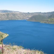
Cuicocha
36.1 km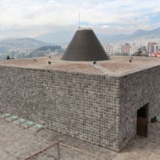
La Capilla del Hombre
47.3 km
Imbabura Volcano
21.1 km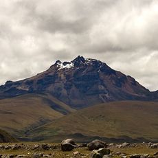
Sincholagua Volcano
37 km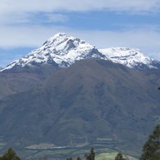
Cotacachi Volcano
40.1 km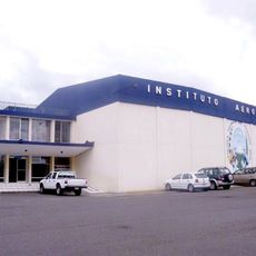
Colegio Técnico Experimental de Aviación Civil
45 km
Cultural Complex Fabrica Imbabura
29.4 km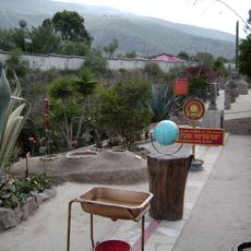
Museo Solar Intiñán
36.5 km
Torre Urban Plaza
41.5 km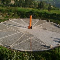
Quitsato Sundial
9 km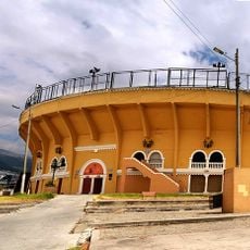
Plaza de toros de Quito
46.8 km
Imbabura UNESCO Global Geopark
29.8 km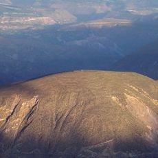
Catequilla
33.7 km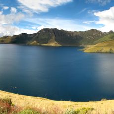
Mojanda
14 km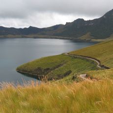
Lagunas de mojanda
16.4 km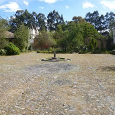
Hacienda Guachalá
13 km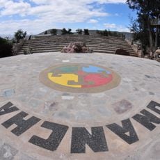
Intiñan Equator Museum
36.5 km
Maquipucuna
25.2 km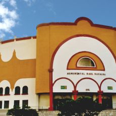
Plaza de toros Raúl Dávalos de la Calle
46.8 km
Fundación Guayasamín
47.2 km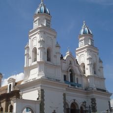
Basílica El Quinche
27 km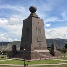
Monumento a la Mitad del Mundo
36.6 km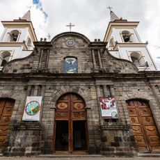
Cathedral of Ibarra
31.4 kmReviews
Visited this place? Tap the stars to rate it and share your experience / photos with the community! Try now! You can cancel it anytime.
Discover hidden gems everywhere you go!
From secret cafés to breathtaking viewpoints, skip the crowded tourist spots and find places that match your style. Our app makes it easy with voice search, smart filtering, route optimization, and insider tips from travelers worldwide. Download now for the complete mobile experience.

A unique approach to discovering new places❞
— Le Figaro
All the places worth exploring❞
— France Info
A tailor-made excursion in just a few clicks❞
— 20 Minutes