
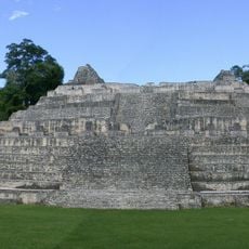
Curucuitz, archaeological Maya site in Guatemala
Location: Petén Department
Part of: Maya site in Dolores area
GPS coordinates: 16.28310,-89.26000
Latest update: April 2, 2025 14:42
Caracol
55.6 km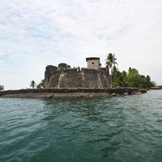
Castillo de San Felipe de Lara
77.3 km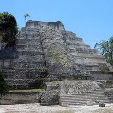
Yaxha
89.1 km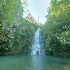
Cockscomb Basin Wildlife Sanctuary
101.8 km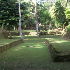
Nim Li Punit
49.3 km
Puente de Río Dulce
75.1 km
Mountain Pine Ridge Forest Reserve
84.5 km
Cancuén
89 km
Chocón Machacas
70.2 km
Naj Tunich
1.9 km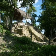
La Blanca
71.8 km
El Chal
57 km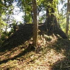
Holtun
77.7 km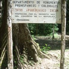
Ixkun
36.1 km
Sacul
33.7 km
Bladen Nature Reserve
46.2 km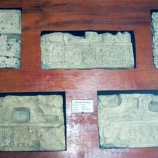
Ixtutz
2.4 km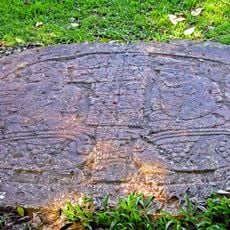
Ucanal
65.7 km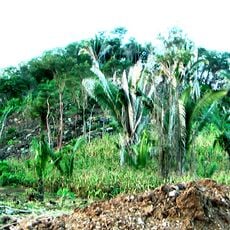
Xnaheb
49.3 km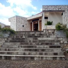
Museo Regional del Sureste de Petén
30.8 km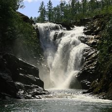
Big Rock Falls
88.8 km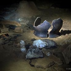
Che Chem Ha Cave
85.3 km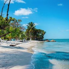
Playa Blanca
62.7 km
Parque Nacional Río Dulce
72.6 km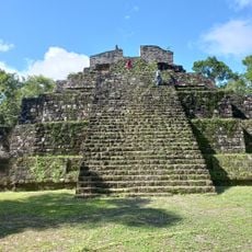
Sitio Arqueologico Yaxha
89 km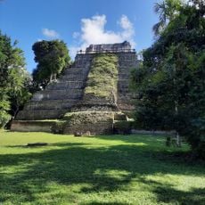
Yaxha Visitor Center
87.2 km
Rio Dulce National Park
80 km
Las Conchas Natural Park
52.6 kmReviews
Visited this place? Tap the stars to rate it and share your experience / photos with the community! Try now! You can cancel it anytime.
Discover hidden gems everywhere you go!
From secret cafés to breathtaking viewpoints, skip the crowded tourist spots and find places that match your style. Our app makes it easy with voice search, smart filtering, route optimization, and insider tips from travelers worldwide. Download now for the complete mobile experience.

A unique approach to discovering new places❞
— Le Figaro
All the places worth exploring❞
— France Info
A tailor-made excursion in just a few clicks❞
— 20 Minutes