Boca Chica, Administrative division in Chiriquí Province, Panama.
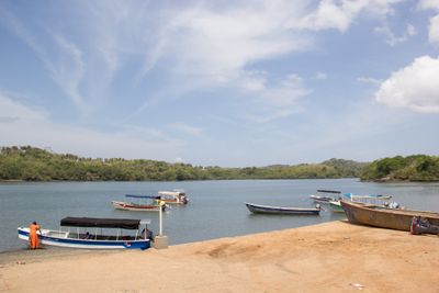
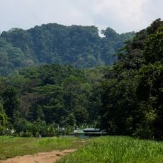
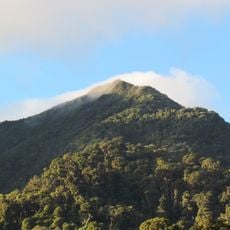
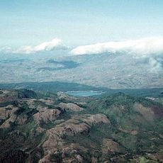
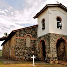
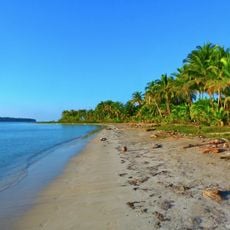
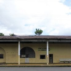
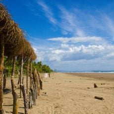
Boca Chica is an administrative district in Chiriquí Province, Panama, situated in a coastal lowland setting. The area is defined by water and the blend of land and marine environments that shape its character.
Boca Chica was established as an administrative unit during Panama's reorganization of its governance structure into smaller districts. This restructuring took place in the early 2000s and created the administrative framework that exists today.
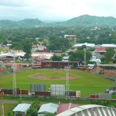
The people of Boca Chica shape their community through fishing and small farming, which define the daily rhythms of life in the area. These practices remain central to how locals view themselves and their place.
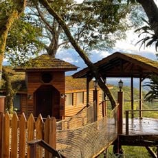
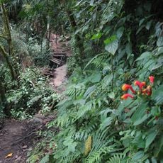
The area is accessible via regional roads connecting to larger centers in the province, with several places to stay nearby. Visit during the drier months when traveling through the area is easier and more comfortable.
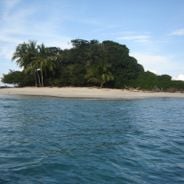
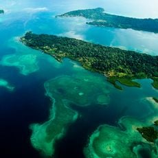
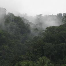
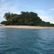
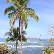
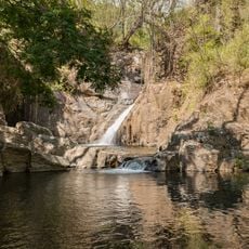
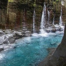
The location serves as a gateway to nearby islands and marine settings, making these destinations reachable for visitors exploring from land. This proximity to island environments makes it a starting point for those interested in exploring water-based landscapes.
Location: Chiriquí Province
GPS coordinates: 8.21667,-82.21667
Latest update: December 6, 2025 17:44
Panama offers much more than its famous canal. The places in this collection show the country's range and variety. In the west, mountain landscapes and volcanoes rise above the land. Volcan Baru offers views of both oceans on clear days. Along the coasts, islands sit with tropical beaches and coral...
Volcan Baru
75.1 km
Corcovado National Park
155 km
La Amistad International Park
154.2 km
Volcán Barú National Park
75 km
Bastimentos Island National Marine Park
120.9 km
La Yeguada
155.2 km
Talamanca Reserve
154.5 km
Barriles
84 km
Iglesia de San Francisco de la Montaña
137.2 km
Piedras Blancas National Park
127 km
St. James the Apostle Cathedral, Santiago de Veraguas
136.5 km
Estadio Kenny Sarracín
34 km
Estadio San Cristóbal
33.7 km
Coiba
94.5 km
Starfish Beach
132.8 km
Lucero Golf Country Club
59.5 km
Santa Catalina Beach
123.8 km
Talamanca Range-La Amistad Reserves
154.5 km
Antigua Estación del Ferrocarril de Bugaba
55.9 km
The Lost Waterfalls
75.3 km
Sendero Los Quetzales
78.1 km
Macho de Monte Cascadas
67.6 km
Gobernación de Bocas del Toro
125.2 km
Catedral de San José de David
32.3 km
Residencia de José de Obaldía
32.5 km
Escuela Normal Juan Demóstenes Arosemena
137 km
Playa Las Lajas
37.3 km
Los Cangilones de Gualaca
37.6 kmVisited this place? Tap the stars to rate it and share your experience / photos with the community! Try now! You can cancel it anytime.
Discover hidden gems everywhere you go!
From secret cafés to breathtaking viewpoints, skip the crowded tourist spots and find places that match your style. Our app makes it easy with voice search, smart filtering, route optimization, and insider tips from travelers worldwide. Download now for the complete mobile experience.
A unique approach to discovering new places❞
— Le Figaro
All the places worth exploring❞
— France Info
A tailor-made excursion in just a few clicks❞
— 20 Minutes