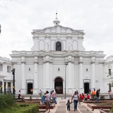
Isla Gorgona, Pacific island in Cauca Department, Colombia
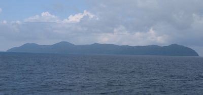
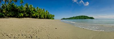
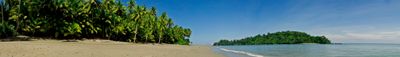
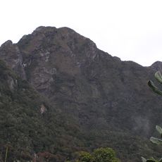
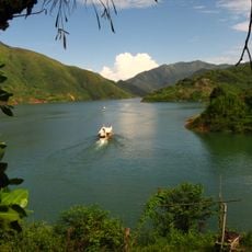
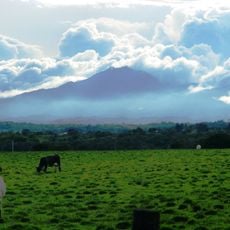
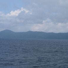
Isla Gorgona is a Pacific island in the Cauca Department of Colombia, covered with tropical rainforest and located off the mainland coast. Rocky beaches and dense vegetation shape the landscape, while coral reefs surround the waters.
Francisco Pizarro named the site in 1527 after the many serpents he encountered there. The prison operating from 1960 to 1984 made the site Colombia's answer to Alcatraz.
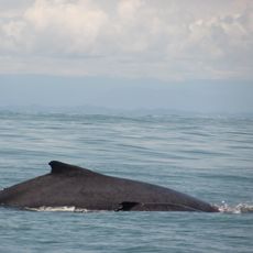
The transformation from penitentiary to national park after 1984 turned the remote location into a protected reserve. Whale watching now draws visitors to waters once feared for their isolation.
Boats depart from Guapi or Buenaventura, with the open-sea crossing taking several hours depending on weather conditions. Entry is allowed only with authorized guides since the entire area is protected.
Several venomous snake species inhabit the forest interior, including the fer-de-lance that gave the location its name. Humpback whales migrate to the coastal waters for breeding between July and October.
The community of curious travelers
AroundUs brings together thousands of curated places, local tips, and hidden gems, enriched daily by 60,000 contributors worldwide.