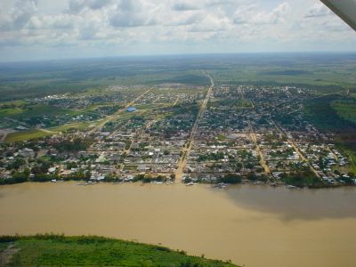
San José del Guaviare, Administrative center in Guaviare Department, Colombia
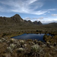
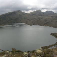
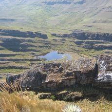
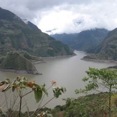
San José del Guaviare is the administrative center of Guaviare Department in Colombia, located at about 185 meters (607 feet) above sea level. The territory spans roughly 16,769 square kilometers and is covered by dense forests, rivers, and natural rock formations.
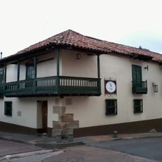
The settlement was founded in 1960 and gradually became the administrative hub of the region. This growth brought significant changes to the population and infrastructure development of the area.
Indigenous groups like the Nunak people live alongside urban residents, shaping daily life and local traditions in the region.
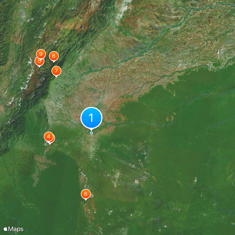
The town is accessible through regional transportation networks connecting to major Colombian cities, with most accommodation options located in the urban center. Planning a visit means understanding that services are concentrated in the downtown area.
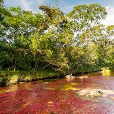
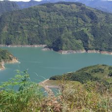
The Caño Sabana river contains the aquatic plant macarenia clavigera, which creates shifting color patterns across the water surface depending on the season. This rare water plant thrives naturally only in a few places worldwide, making this river special.
The community of curious travelers
AroundUs brings together thousands of curated places, local tips, and hidden gems, enriched daily by 60,000 contributors worldwide.