Tolima State, Historical sovereign state in central Colombia
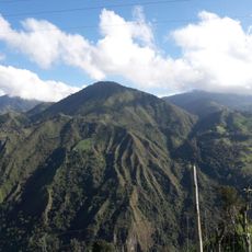
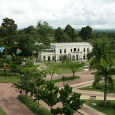
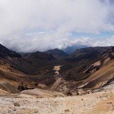
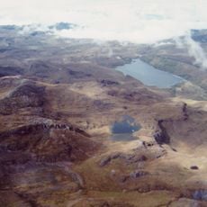
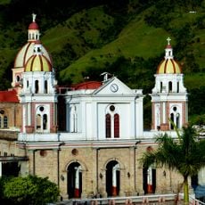
Tolima State was a territory in central Colombia that stretched from the Magdalena River to the Central Cordillera, encompassing major cities like Ibague and numerous municipalities across different elevations. The region was divided into distinct geographical zones with varying climates and landscape types.
General Tomás Cipriano de Mosquera established this state entity on July 12, 1861, separating it from Cundinamarca during a period of civil conflict in the country. In 1869, administrators reorganized the territory into three divisions for governance purposes.
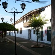
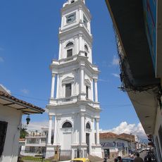
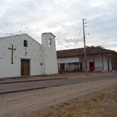
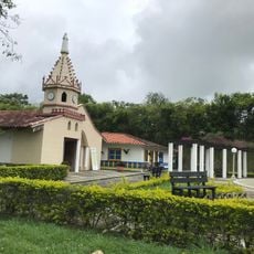
The Pijao and Panche indigenous peoples inhabited different regions and shaped local traditions that visitors can still recognize today in how communities value their land and heritage. These early societies left marks on place names, farming practices, and the way people relate to the landscape around them.
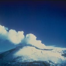
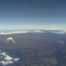
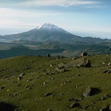
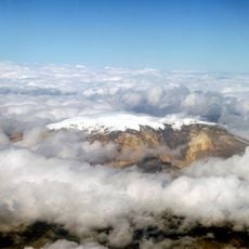
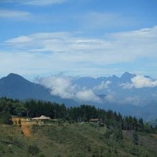
When visiting this region, expect to encounter different elevation zones and varied climates ranging from river valleys to mountainous areas. A traveler can move through different landscapes but should be prepared for changing weather conditions.
This state functioned as a sovereign entity within the United States of Colombia and maintained that status until 1886, when a new national constitution transformed it into a department. The transition marked a shift in how the territory was governed and its place within the larger nation.
The community of curious travelers
AroundUs brings together thousands of curated places, local tips, and hidden gems, enriched daily by 60,000 contributors worldwide.