Líbano, district in Tilarán canton, Guanacaste province, Costa Rica
Location: Tilarán Canton
Elevation above the sea: 280 m
GPS coordinates: 10.41025,-84.97373
Latest update: March 28, 2025 02:03
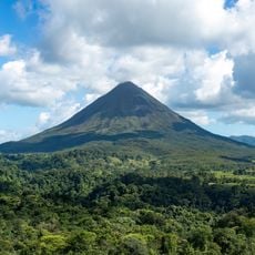
Arenal Volcano
30.2 km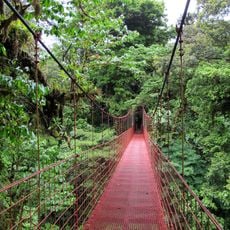
Monteverde Cloud Forest Reserve
23.6 km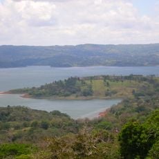
Lake Arenal
14.4 km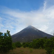
Arenal Volcano National Park
30.2 km
Tenorio Volcano National Park
32.8 km
Puente La Amistad de Taiwán
34.9 km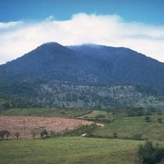
Volcán Tenorio
29.1 km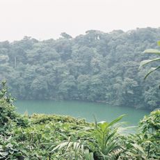
Chato Volcan
31.5 km
Palo Verde National Park
38.3 km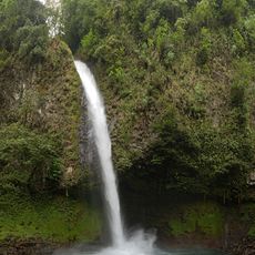
La Fortuna Waterfall
32.7 km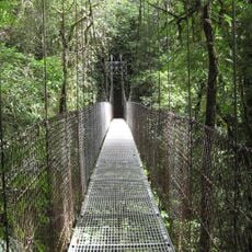
Arenal Hanging Bridges
30.1 km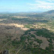
Barra Honda National Park
47.3 km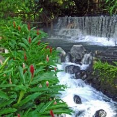
Tabacón Hot Springs
28.8 km
Selvatura Park
21.1 km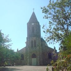
Our Lady of Mount Carmel Cathedral, Puntarenas
50.5 km
Monteverde Theme Park
19.3 km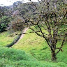
Curi Cancha Wildlife Refuge
22.1 km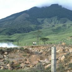
Miravalles National Park
39.7 km
Agua y Paz Biosphere Reserve
45.1 km
Butterfly Conservatory
24.3 km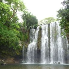
Llanos de Cortés Waterfall
37.8 km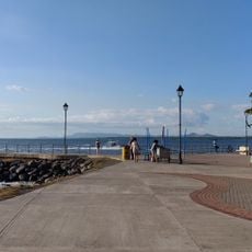
Phare de Puntarenas
50.1 km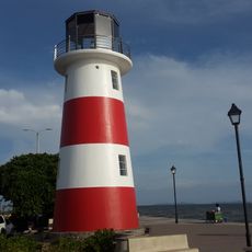
Lighthouses in Puntarenas
50.8 km
Monteverde Orchid Garden
19.5 km
Playa Naranjo
52.4 km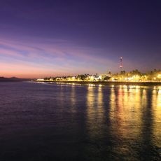
Puntarenas
50.7 km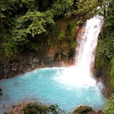
Rio Celeste
30.4 km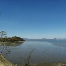
Playa Española
48.3 kmReviews
Visited this place? Tap the stars to rate it and share your experience / photos with the community! Try now! You can cancel it anytime.
Discover hidden gems everywhere you go!
From secret cafés to breathtaking viewpoints, skip the crowded tourist spots and find places that match your style. Our app makes it easy with voice search, smart filtering, route optimization, and insider tips from travelers worldwide. Download now for the complete mobile experience.

A unique approach to discovering new places❞
— Le Figaro
All the places worth exploring❞
— France Info
A tailor-made excursion in just a few clicks❞
— 20 Minutes